Mount Rainier
June 2009
You need permits to climb (or backpack) in Mount Rainier National Park. Be sure to check out the regulations if you are planning a trip.
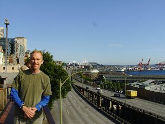
Chris and Wendy flew to Seattle from Tucson a day ahead of me. Wendy's father lives on Whidbey Island and she and the girls would hang out there while Chris and I went mountaineering. Chris picked me up at the airport and took me to our hotel, the MarQueen. From there we walked over to the Space Needle since everyone has to go there at least once.
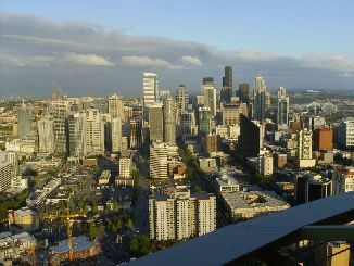
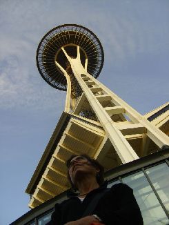
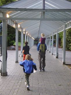
We had a nice dinner before sorting through gear and hitting the sack. Parting with the girls, the next day we headed for Rainier. We stopped along the way once or twice to check out the White River. The weather was not looking good. A few sprinkles on the car with clouds hanging low. But after checking in at the ranger station we got to the trailhead and did one last gear check while filling our packs - mine was over 60 pounds. We were able to get on the trail just after noon.
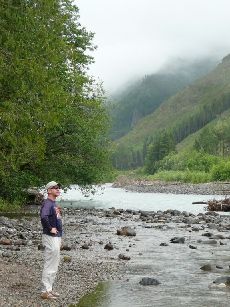
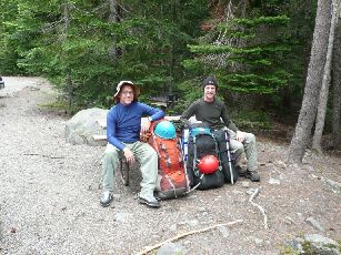
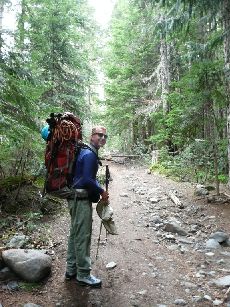
The trail to Glacier Basin was good except where it had been washed out by a massive flood a few years ago. There is no doubt it was gorgeous, leading along the White River for a ways then continuing along the Interglacial Fork. Snow fields came quickly, with pickets marking the way in some areas. Soon we were travelling through fields of gorgeous yellow glacier lilies. We were at Glacier Basin Camp at around 3:00.
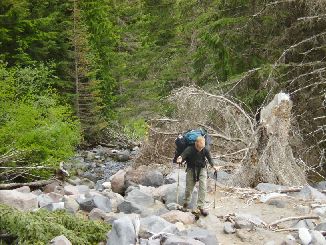
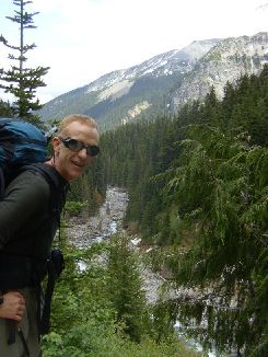
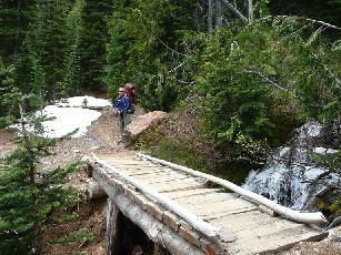
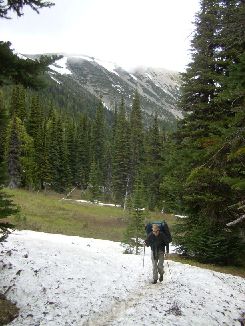
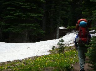
We set up camp, hung our bear bags, and headed off to explore the snow near the tail of the Interglacier. Some skiers passed by and we were definitely impressed with the number of skiers we saw during the trip. After play time we were ready for dinner and bed.

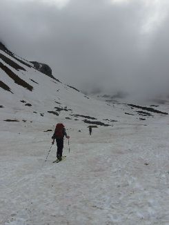
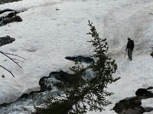
After getting about 11 hours of sleep, we got up and ate. The weather had turned nice: warm with a clear blue sky. We were on the trail around 10:30 after the regular morning routine (there are composting toilets). Or, rather, we were off the trail and on the glacier.
There were four other parties on the Interglacier with us - two parties each of two people and four people. Some people skied down as we climbed up. There was a small marmot community near the spot where the glacier turned left and the grade steepened substantially. We roped up at the base of this slope.
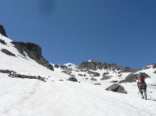
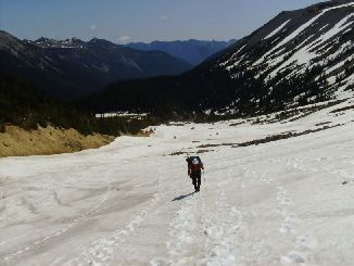
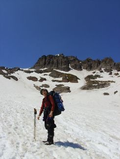
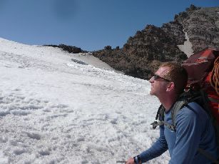
Climbing was fairly slow, but we managed to pass one party while not getting passed ourselves. There was only one crevasse through this area, near the top of the glacier and off to the right (which would be the left on our way back down). It was far enough off that it didn't pose any threat. We stopped for lunch at Camp Curtis. This camp is at the top of the ridge between the Interglacier and Emmons Glacier, but there was nobody staying there. It was a good vantage to see crevasses on the Emmons as well as Tahoma Peak.
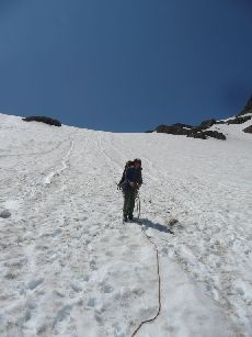
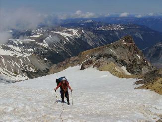
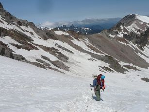
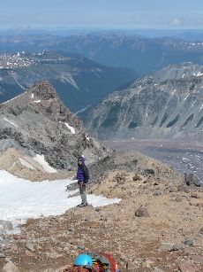
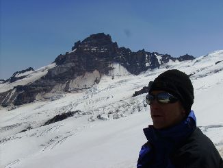
After lunch we went over the ridge and out onto Emmons Glacier. Our first crevasse crossing came up quickly once we got onto the glacier. Then it was one long switchback around some other crevasses as we headed into our high camp at Camp Schurman.
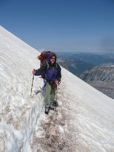
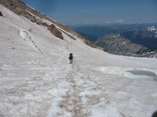
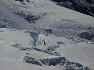
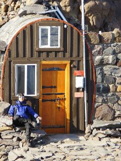
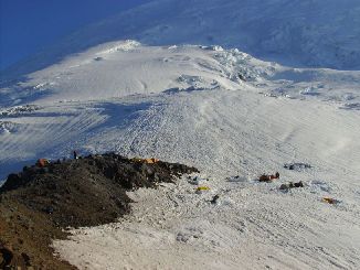
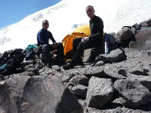
There were about four or five tents set up on the rocky outcrop in front of the ranger hut at Camp Schurman, with about that many on Winthrop Glacier below. One group was practicing their crevasse rescue techniques a little ways off on Winthrop Glacier. We got a prime tent spot before checking out the area. Then we had to deal with dinner and preparing for the next day's summit bid. This included melting snow, which was the only source of water around, and studying the route so we would know where to go in the morning darkness. By the time we finished the number of tents at camp had about doubled, plus the folks staying at Emmons Flats just above Schurman made for quite few people on the route.
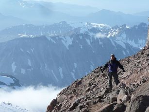
It seemed strange going to bed as early as we did, but it was necessary since we would be on move between 1 and 2 AM. There were plenty of parties moving out before us the next morning. Ear plugs certainly aided in the sleep efforts. But we were off at 1:40. Perfect timing. I was amazed at how slow other parties moved. We passed four parties before dawn and two more soon afterwards. We didn't feel like we were moving particularly fast but I guess we were faster than most of the others so we ended up being ahead of everyone else. There was only one really sketchy part of the climb, where we had to go around a horn of ice at the edge of a crevasse. Below the horn was a cliff that dropped into another crevasse. But it was still pretty dark when we arrived there so the moves weren't really too scary. It was a heady feeling that we were leading the entire column - choosing the path - when this was the first mountaineering either of us had done.
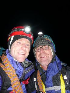
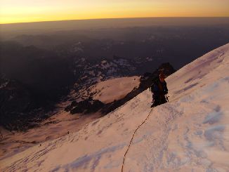
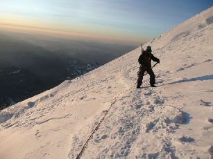
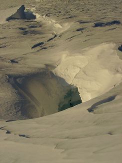
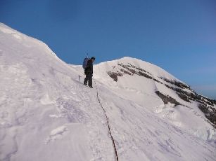
We were the first from Camp Schurman to summit that day. Around the same time there were lots of groups from Camp Muir crossing the crater to the summit. Unfortunately we couldn't find the summit register (I asked ranger about it later and she said it was down in the crater somewhere). But that was a minor glitch. Resting, eating, enjoying the view, and basking in our success took us about 45 minutes. The view was spectacular too: Mt. Adams, Mt. Baker, Mt. St. Helens, and other peaks with a grand panorama into the distance.
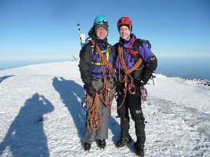
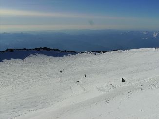
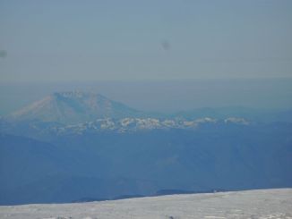
Eventually the high winds at the peak grew tiresome, along with our chilled bones. We headed down at around 7:30, just as the next group from Camp Schurman was arriving. On our way down Columbia Crest - the highest of the three peaks on Mt. Rainier - we advised three other parties to beware of its icy slopes. We had used our ice axes to gain purchase going through that area earlier.
Chris' ankle soon became a problem. His left ankle would roll every time he weighted it outward. We spent quite a bit of time adjusting and readjusting his crampon, but nothing seemed to help. We had to just move very slowly with him using two trekking poles and avoiding walking with his left foot out on his downhill side.
At one point while we were still high on the mountain my foot broke through a snow bridge. It was an instant jolt of adrenaline. The snow was warming to a slushy consistency but plenty of stability remained. I simply pulled my foot back out and continued on. The views continued to be spectacular on the crystal clear day.
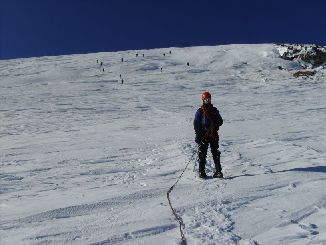
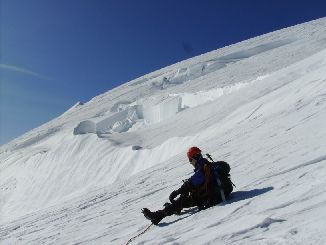
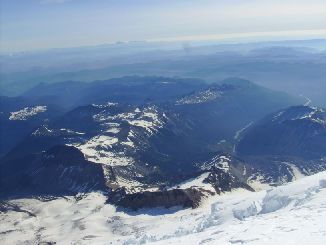
The sketchy part of the route - on a horn of ice around one crevasse and above a cliff leading down into another - was a bit scarier in the daylight, especially with mushy snow and Chris' ankle. We set up a belay through this area that we dubbed the "sketch pad". Below the sketch pad there was a bowl that led out to a straight section of the route called the ramp. The ramp led down to Emmons Flats, which was a short walk from Camp Schurman.
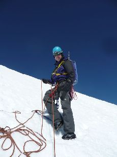
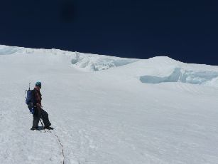
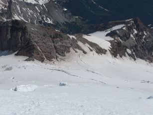
Even with our slow pace down, we arrived back at Camp Schurman around noon. Although we had allowed four nights at Camp Schurman on our permit in case of bad weather, we had achieved our goal after just one night. We decided to head back down to Glacier Basin that afternoon to set us up for a short hike out on our fourth day so we could have time to see some sights around Rainier before heading back to join the girls at Chris' in-law's house. A party arriving from below was glad we were leaving because they wanted our prime tent site.
Heading down, we decided to unrope at the top of the Interglacier. Near the one crevasse - now off to our left - a group was roping up. I told them that this was the only crevasse on the Interglacier and continued on. One step later the snow around me collapsed into the crevasse. Instinctively (which was all there was time for) I jumped and rolled, landing on my backpack on the far side of the crevasse. As I rolled upright onto my butt I hollered to Chris to avoid stay farther right - a point which was pretty obvious. The plan was to glissade down this glacier and since I was already on my butt I started to slide. Glissading is sure a fast way down. We reached Glacier Basin Camp in no time.
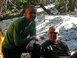
We slept for 12 hours that night. The next day we had a gorgeous and relatively uneventful hike out. Chris' ankle was still a bit floppy, but better since he wrapped it. We arrived at the trailhead sometime a little after noon.
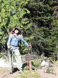
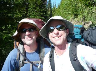
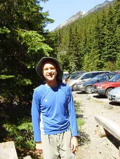
We drove on up to the Sunrise Visitor Center, where we felt very satisfied looking out at the mountain and our route. We ate some lunch and planned the rest of our day. We would drive down the east side of the Park, around through Paradise, and on around back to Seattle.

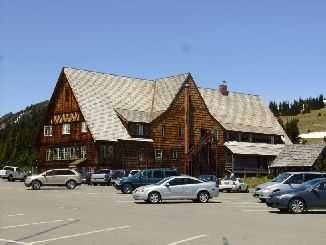
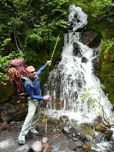
The views on the road around Rainier were spectacular. Lots of rugged peaks and waterfalls. We stopped at the Grove of the Patriarchs, where a short trial wove through a stand of huge old-growth trees.
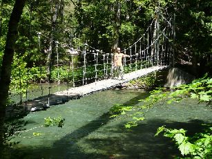
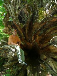
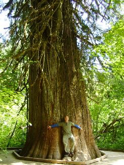
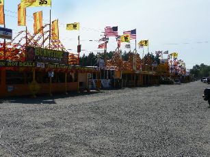
But the road to Paradise was closed at the Stevens Canyon Entrance because of a landslide, so we reversed our course and headed back to Seattle. There was a huge complex of fireworks stands (at lesat 50) just outside the Muckleshoot Reservation near Enumclaw where we stopped for a picture. In Seattle, we ate dinner at the Pike Street Market, then continued to Whidbey Island to meet Chris' family.
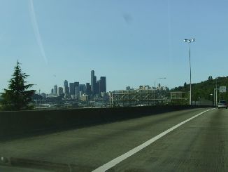
My trip wasn't nearly over though. Once we met the girls we would hang out for a few days, do some sea kayaking and site seeing before I left for my trip up Mount Whitney.


