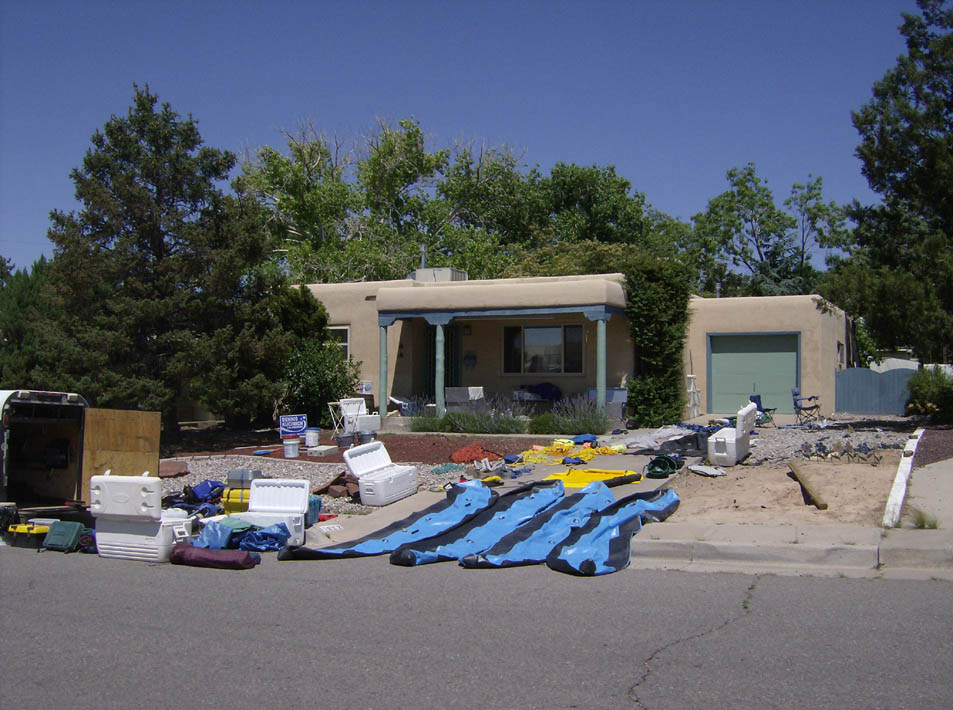
Selway River
Idaho
June 2007
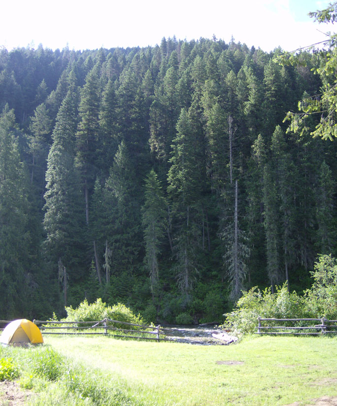
Scott e-mailed me in mid-May about the possibility of going on a Selway trip in June. I cleared my calendar as quick as I could and got ready. I drove 10 hours to Salt Lake City and stayed the night with M'Leah, April, and Bowdie. I'd not met these three, but had communicated with them quite a bit via e-mail. They turned out to be quite cool folk. The four of us then piled into the truck for the 8-hour drive to Conner, MT. We stopped at the ranger station shortly after passing through Conner, where we found that Besty had hooked up with Scott and Mitch and they had gone to the put-in just 5 or 10 minutes before we arrived. April got the permits, listened to the warnings about ticks and rattlers, and we were off. My trailer got a flat, but we got the spare on quickly without any dampening of the spirits. We arrived at the put-in a little after 5 o'clock. Rigging commenced after a few hellos. Unfortunately, nobody took a picture of the mountain 'man' crew that rode through while we worked.
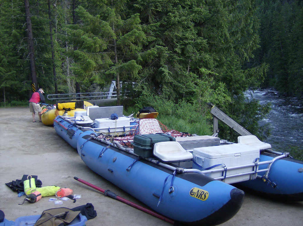
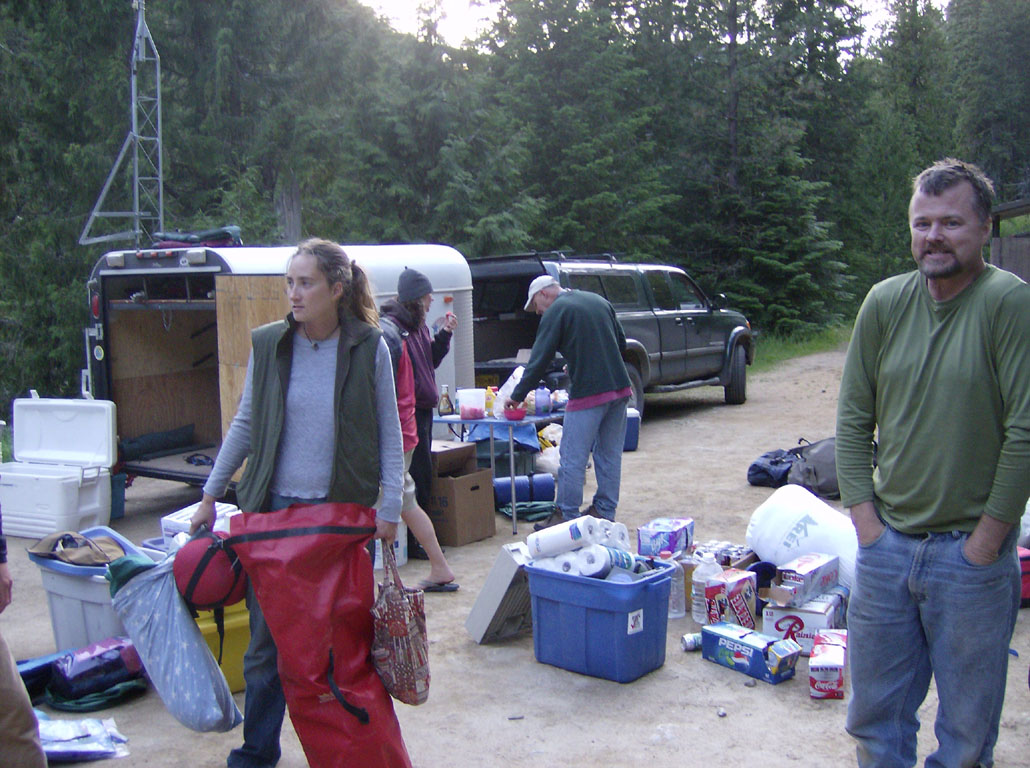
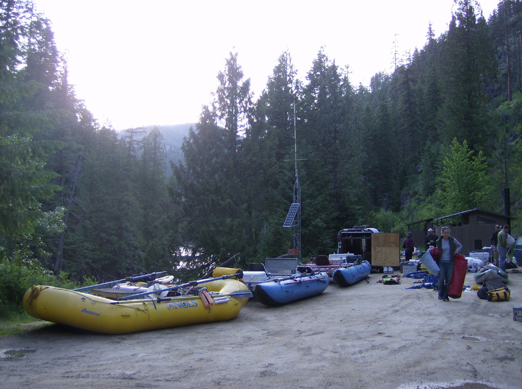
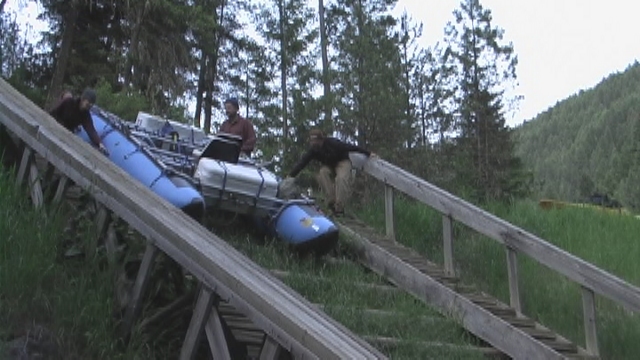
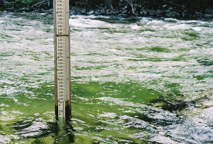
We got a late start the next morning. The camp, which is a quarter-mile from the put-in, was covered - big time - in dew that morning. We'd pushed the boats down the launch (movie) the previous evening so we just had to eat and finish loading them up. The Kidds arrived to run our shuttle right on time (Karen Kidd operates Selway River Shuttles out of Darby 406/821-3560). They did a fantastic job, even getting a flat tire fixed that my trailer had gotten on my trip to the put-in. Hoping to be gone by the crack of noon, we made it onto the water around 12:30. The guage read a sweet 2.8 feet.
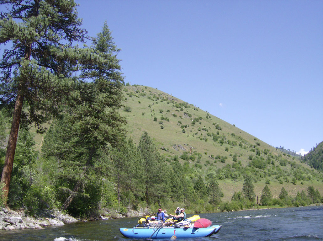
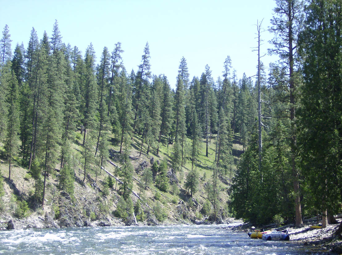
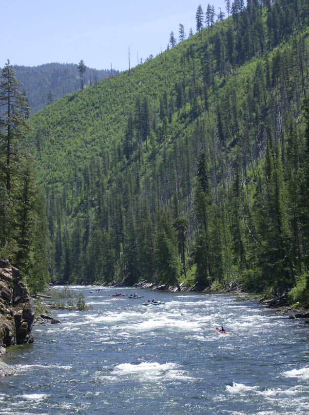
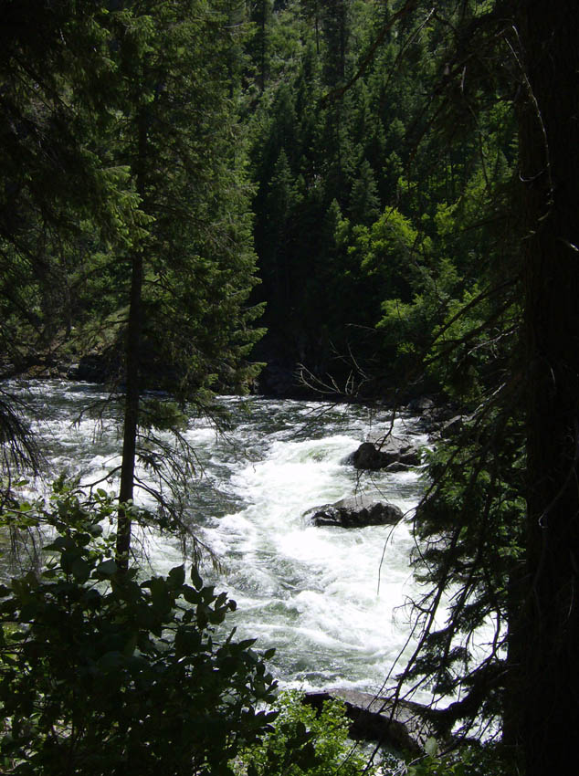
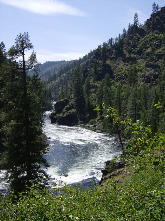
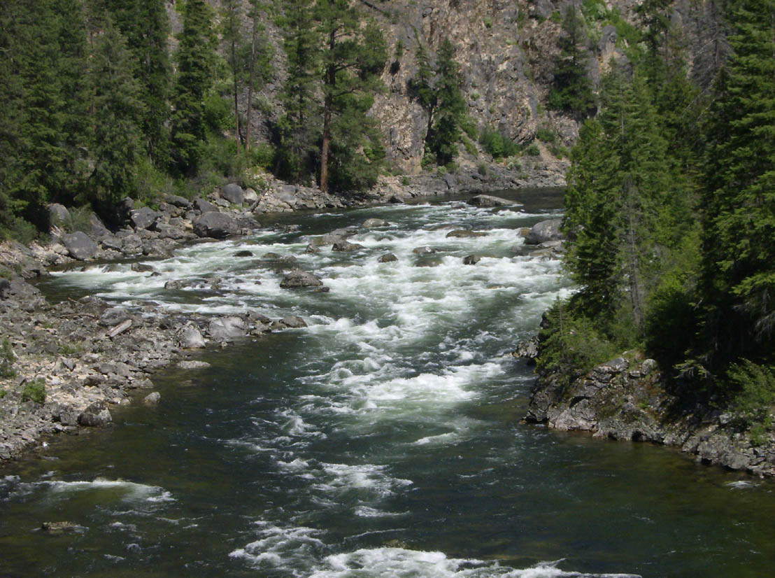
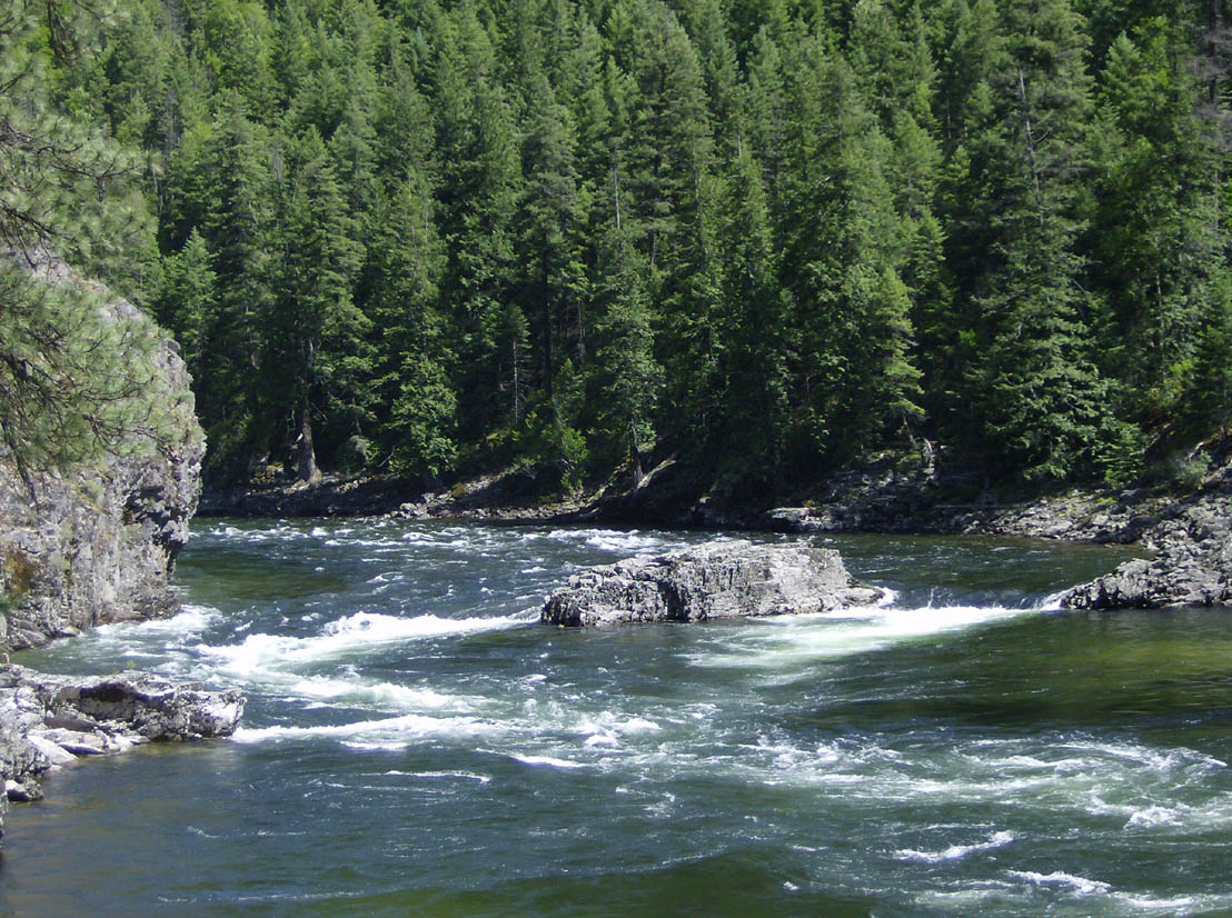
The the first half of the Selway is very different from the desert rivers I usually float. It is fairly constant gradient - a downhill ride with very few eddies. It is constant rapids (class I+ or II-) for the first few miles from the put-in to Crooked Creek, with rocks demanding constant attention to avoid. We had the guide book sold at the ranger station which contains historical antecdotes, a good map with rapids marked, and a list of campsites. We also had the Rivermaps map, which is a great map with both rapids and camps marked (some are out of place so be sure to see the errata list accompanying the map).
I had been a bit frustrated at the trip reports I'd read and their lack of much detail about the rapids. They pretty much all said something like "The first set of rapids are a hoot." without much more. Well here's my attempt (at the flows I saw):
- Slalom Slide is a hoot. The name says it all - back and forth around big rocks just like a slalom course. Probably 3 or 4 moves makes this rapid loads of fun. It is basically a short rock garden.
- There is a good sized eddy on the right above Galloping Gertie, where we stopped to scout. We had hoped to scout Washer Woman at the same time, but it was a bit of a walk and it looked like we would have time to pull over after Gertie. Rocks filled the right side of the river through Gertie, so we ran left through the larger waves. This was a great time. Be sure to watch for the rock at the bottom on the left though.
- We'd heard many reports of a log blocking the left side of Washer Woman. We stopped to scout but one of our boats couldn't make it - no eddy, just stopped in the moving water - so we blew on into the right side of the rapid. The best line was definitely to the left, and it turns out we could have taken it as the log wasn't blocking it. Anyway, since we entered on the right we had to do some fancy maneuvering to get past the rocks choking the right side. Mitch got so hung up trying to make this move that when I entered all I could see was the bottom of one of the Cat tubes! I gracefully proceeded to get hung up at the same spot.
- Cougar Bluff is a short ride with one rock to avoid followed by a few pulls to easily avoid a hole.
- Holy Smokes is a fun wave train. As always there is a short rock garden that can easily be negotiated.
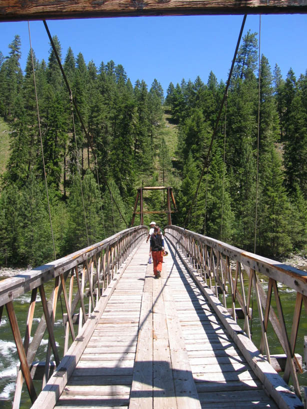
We stopped for lunch on the right at a gravel bar around mile 6.3, just upstream from Running Creek Ranch. Lunch was quite late, at about 3:00 until around 3:45. We floated under the first of many pack bridges across the river just before passing the ranch at mile 6.5.
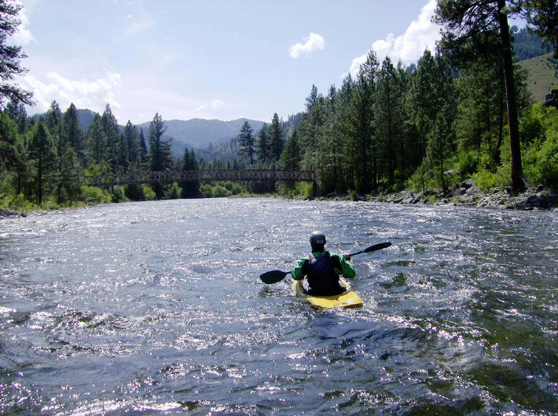
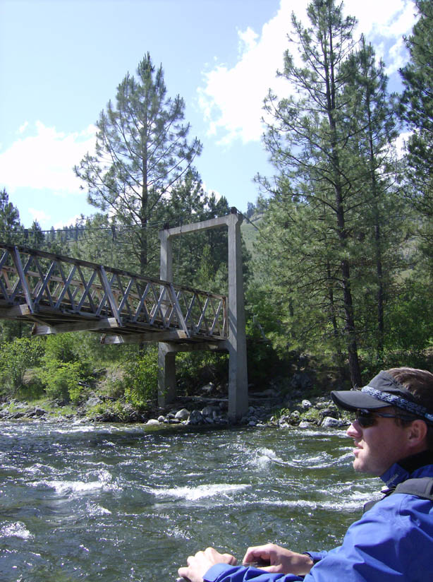

There were more buildings to see a couple miles further at North Star Ranch. There was also a cave in the cliffs opposite it.Rounding the right-hand turn just past North Star, I took the outside (left) line around a small island. I quickly saw Scott frantically waving me to the right. I barely got over in time to make the narrow, shallow channel through Ping Pong Alley. There was a bit of space between my boat and Betsy's, so I pulled over in an eddy and waited. Everyone waved frantically at Betsy as well, but her boat is not as responsive as the Cats so she ended up heading throught the center. She got stuck on a rock near the top of the rapid - not that this is much of a rapid other than the fact that it is so dang shallow you'll get stuck 15 times trying to get through if you don't hit the channel. We all watched Betsy and April rocking and pushing for a while. Scott tried to walk his kayak up some and I portaged across to the left shore as quick as I could. Bowdie and I then hiked up the trail with a couple of rescue lines to help pull Betsy off the rock. This worked, but Scott must have had a bad experience since he was being helped out by M'Leah and Mitch when we finished. On the extremely positive side, Betsy made it through without getting stuck again. Overall she was on that stupid rock for 35 minutes!
After that adventure it was just a couple more miles until we came upon Elevator Mountain, the signal for us to pull off to camp.
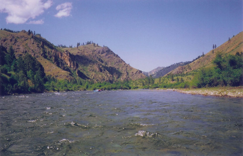
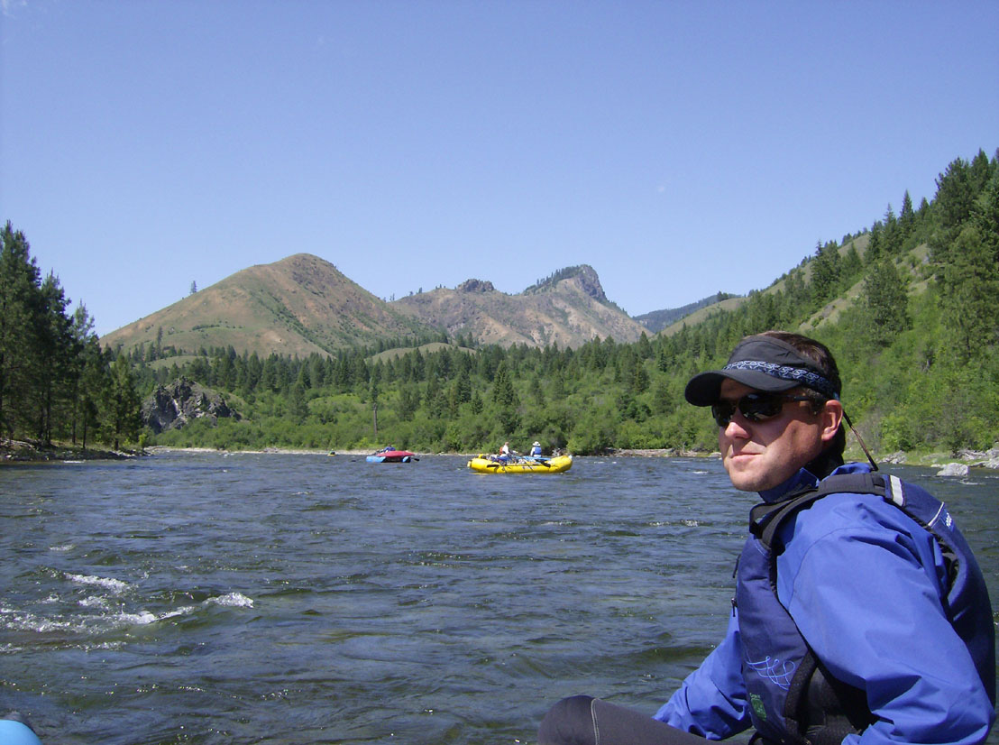

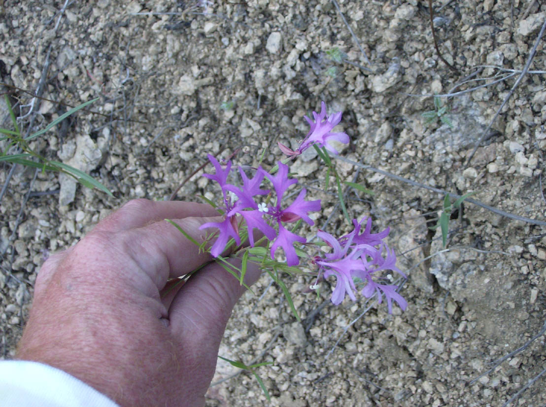
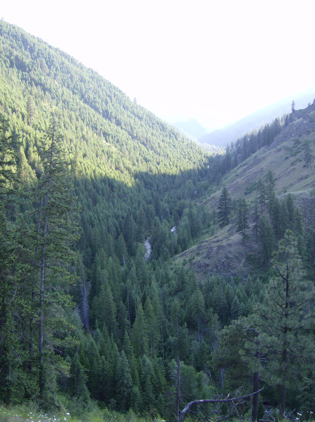
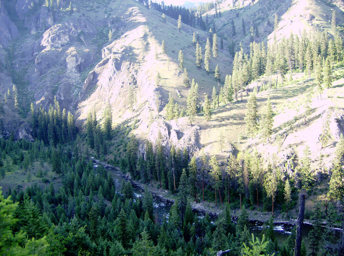
We stopped at 5:15. The camp at Goat Creek is quite nice if not a bit small. Our group of 7 all but filled it up. After setting up and lounging a while, I set off for a short hike up the creek - without my paddle - then onto the ridge behind camp and back. There were lots of flowers on this hike, including one white flower with showey purple brachts that I just loved. And there were some terrific views from the ridge as well.
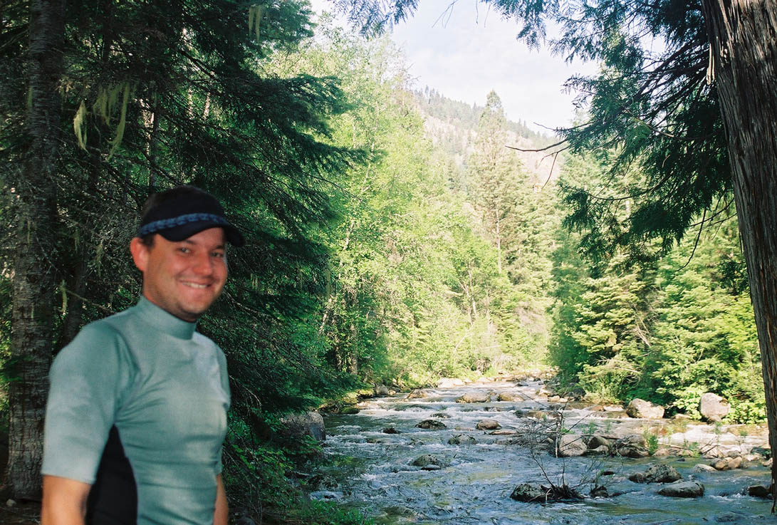
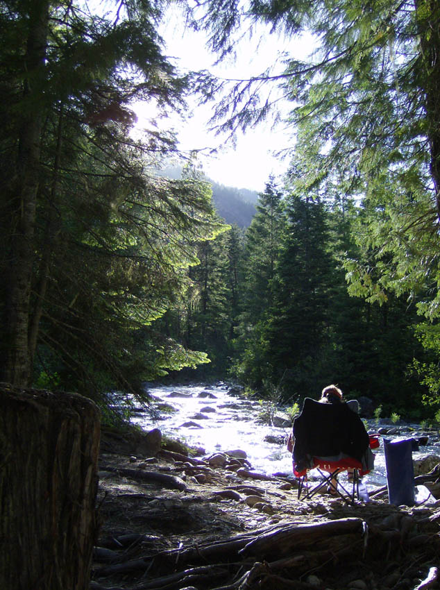
We started out our second day at 10:20 and quickly headed in to Goat Creek Rapid. The river ranger we'd spoken to said this was his favorite rapid on the river. His advise was "read it as you go and Zen into it." This advise was about right, as it is next to impossible to scout. The river narrows through here and this rapid is essentially another slalom - moving right then left then back right. I thought too much toward the bottom of it and went the wrong way around a big rock inthe center. I got a bit hung up on a rock, but Bowdie high-sided well and we stabilized quickly before he pushed us off. Nobody else had any difficulty through it. Despite my minor difficulty, this is one of the best rapids I've ever run: very rhythmic.
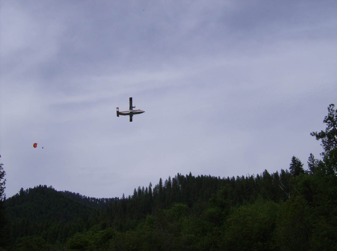
We stopped to let Bowdie get into the IK after this rapid. At this point a plane made several passes over us, dropping parachuters each time. By the time we got to Shearer Station it was pushing out cargo to the guys who'd just jumped. The next bridge over the river was only about a half mle from there at the Selway Lodge.
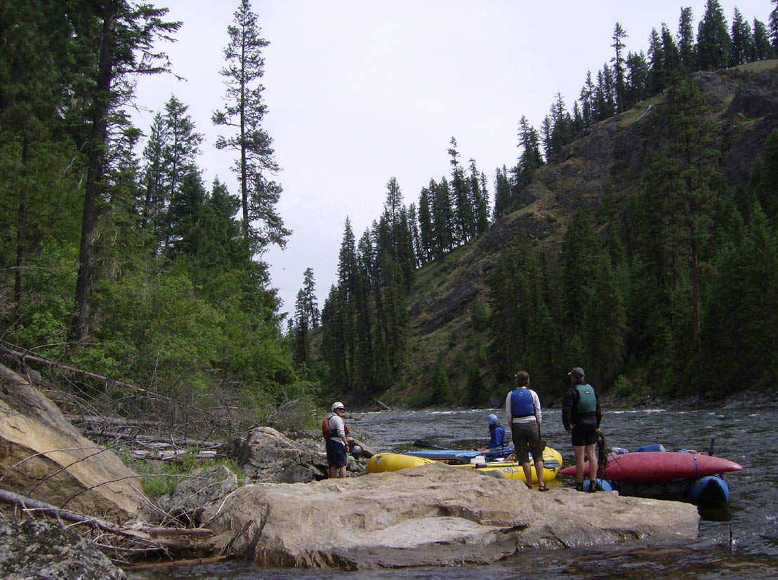
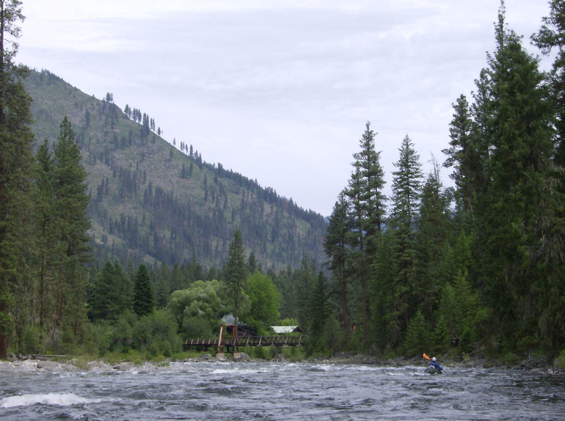
The rapids were not much to speak of for the remainder of the morning. Not that they weren't fun, but everything was read-and-run with reletively few rocks until we got to Ham. Pettibone threw Bowdie. I'm glad he was prepared since there was a chill around under the clouds and a wind was gusting about. The camps through this area that are named "Flats" are all on the back sides of point bars with invariably rocky beaches and large, flat camps. White Tail Flats looked better than Cougar Flats. Many of the other camps are tough to spot, as if they haven't seen much use. Dead Elk, despite its name, looked okay if not a bit small even for our group. Fortunately we were headed on to Tony Point. There was a fair bit of wildlife through this area - a deer at White Tail Flats and a bald eagle just past Bear Creek. And there was lots of gorgeous scenery!
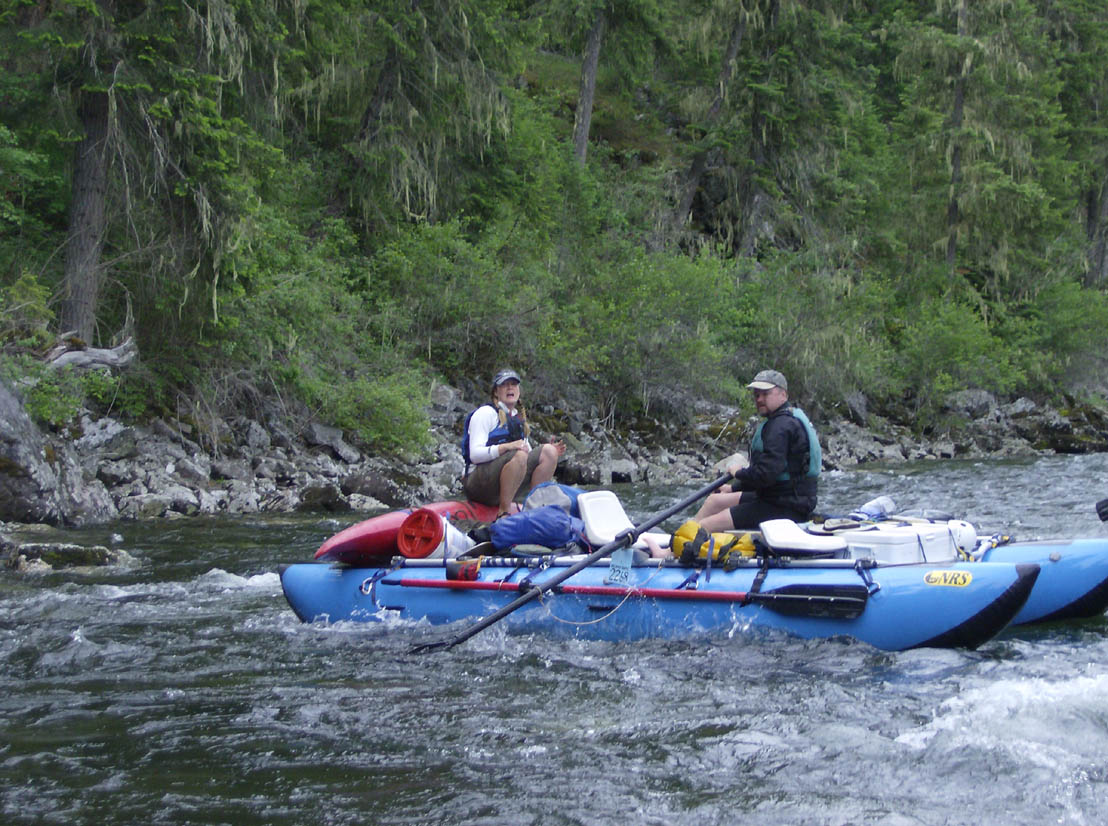
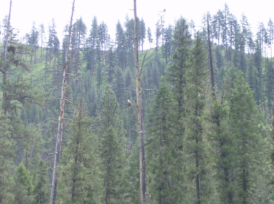
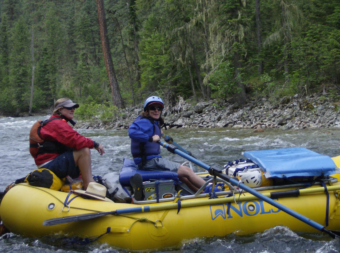
The river was flowing pretty fast: we made about 4mph before stopping for lunch at Rattlesnake Bar. Water was flowing in from both sides at Dog Creek and the hairpin turn at mile 22.3 was easy to spot. That gave us our one-mile warning until Ham. We stopped just short of Green Eggs to let Bowdie put away the IK. Green Eggs itself was a fun read-and-run. The scout for Ham is on the left. There is one big rock barely submerged creating a moderate hole at the top of the rapid. This didn't look too hairy, and you could either go in between the big horns that followed or go right of them. AFter that, the river took a left bend which started an exillerating wave train. We ran it (movie) without incident - although not exactly on the line we wanted.
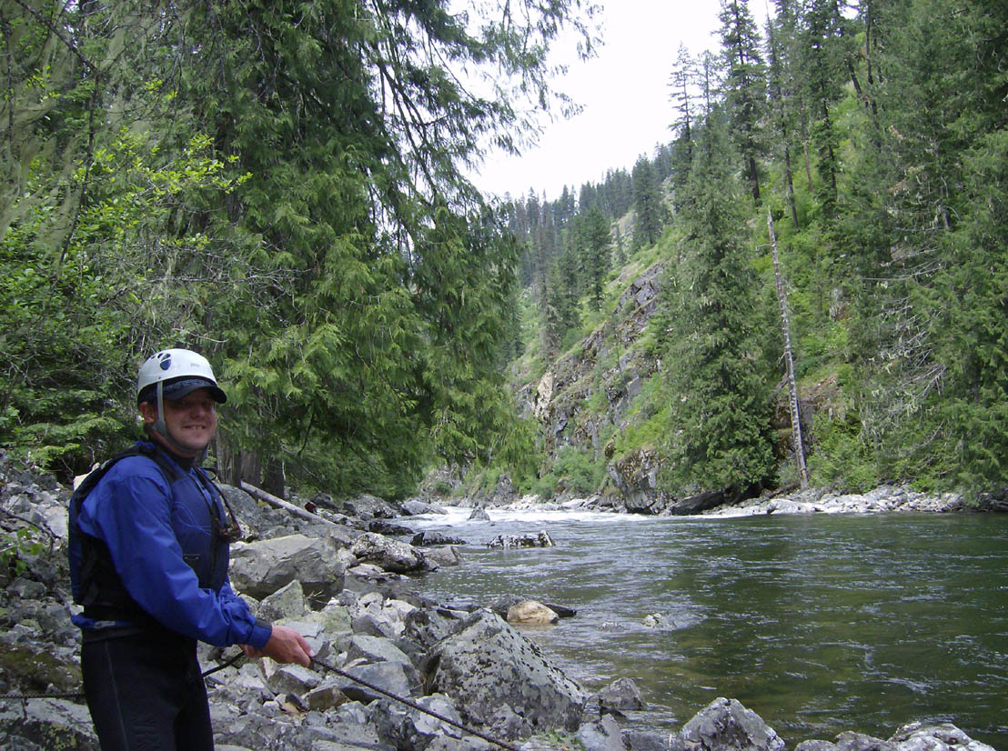
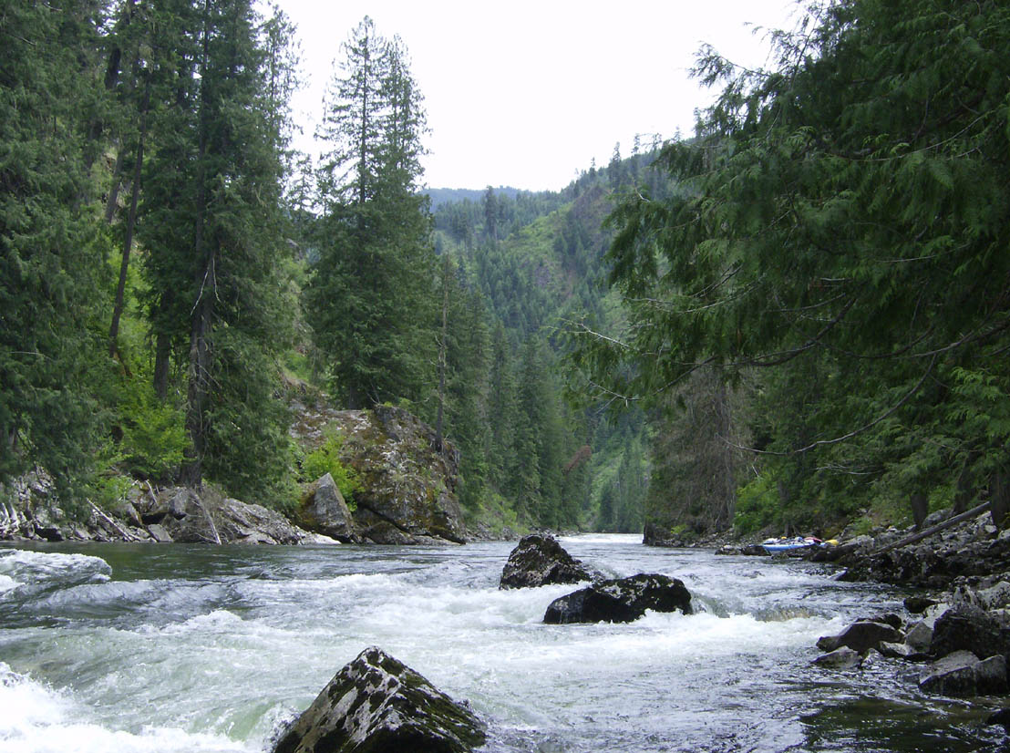
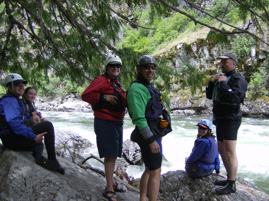
From Ham to Moose Creek is very similar to the section above Ham - mild, fun rapids and great scenery. The river narrows up a bit through this section and camp sites are more difficult to spot. The site below Hopwood Creek is last chance to camp before reaching the hub-bub around Moose Creek. We were planning a lay-over at Tony Point though, so we moved on. The Tony Point Bridge camp was occupied. We held up and I chatted with the campers there. They had put in the day before us and were laying over. The group that put in the day before them was on the same schedule as well and had vacated the Tony Point camp, so we moved under the bridge, around the corner, and down to there. This is one spot where the RiverMaps guide is marked incorrectly, but the take-out for camp was fairly easy to find right across from the confluence of the Selway and Moose Creek. This camp was awesome. We were at a choice site and the rain we got that evening didn't dampen our spirits at all, though I did set up my tent at this camp.
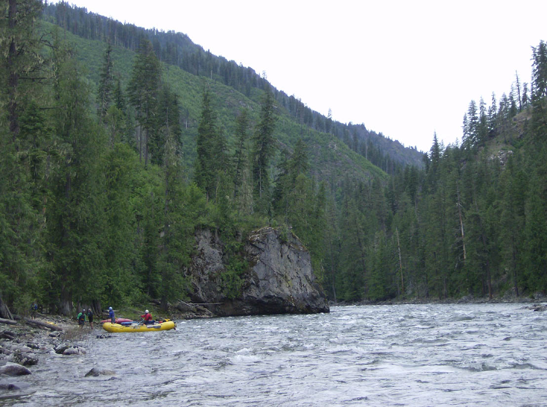
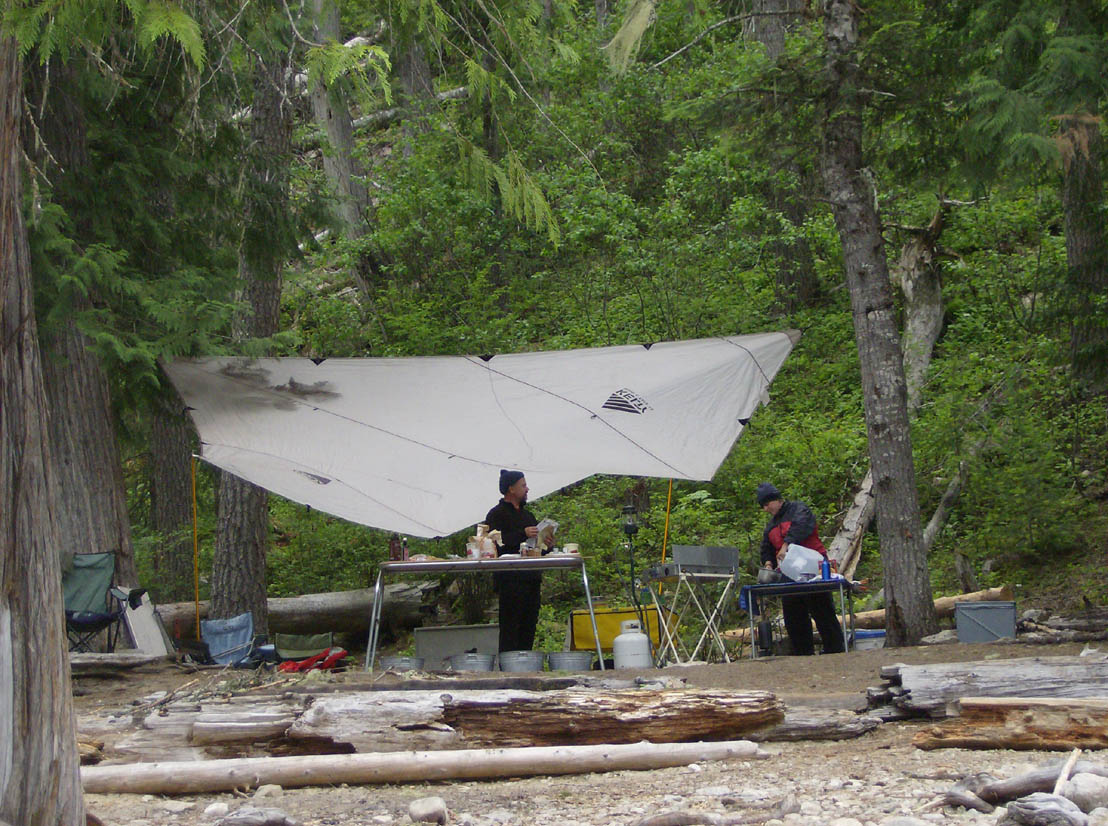
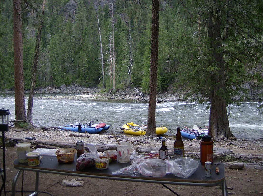
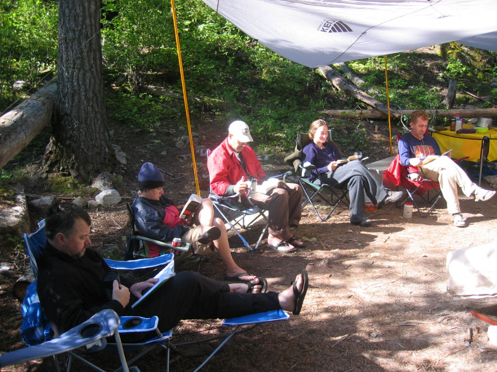
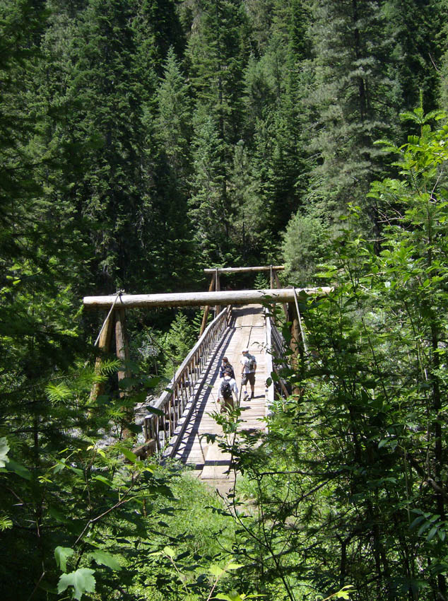
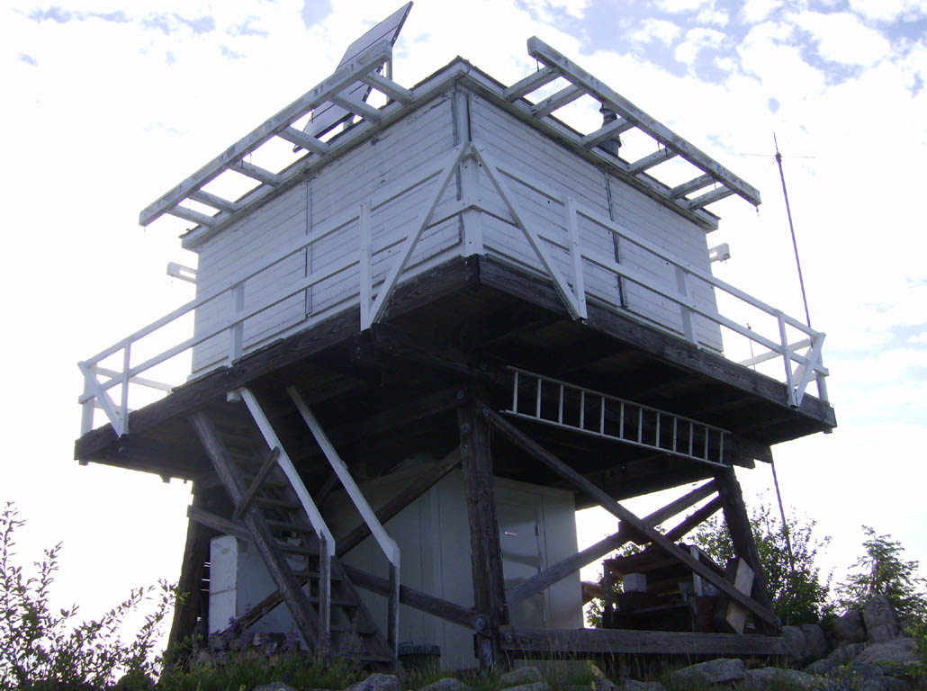
It dawned bright and clear for our lay-over day. That morning was incredibly relaxed. We hung out, had pancakes, strolled around camp, did a few chores, and generally took it easy until nearly noon. Then we made sandwiches and went hiking. Most of us did anyway. Betsy continued to relax around camp. The rest of us hiked back to the Tony Point Bridge. April headed up the trail south toward Grizzly Saddle. The party that put in the day after us passed under the bridge while we were on it. Poor blokes were on a 3-day trip - having to rush through. The remaining five of us went on over and crossed the Moose Creek bridge. Scott and I headed down river to check out the rapids while M'Leah, Mitch, and Bowdie headed up Shissler Peak to check out the fire tower there.
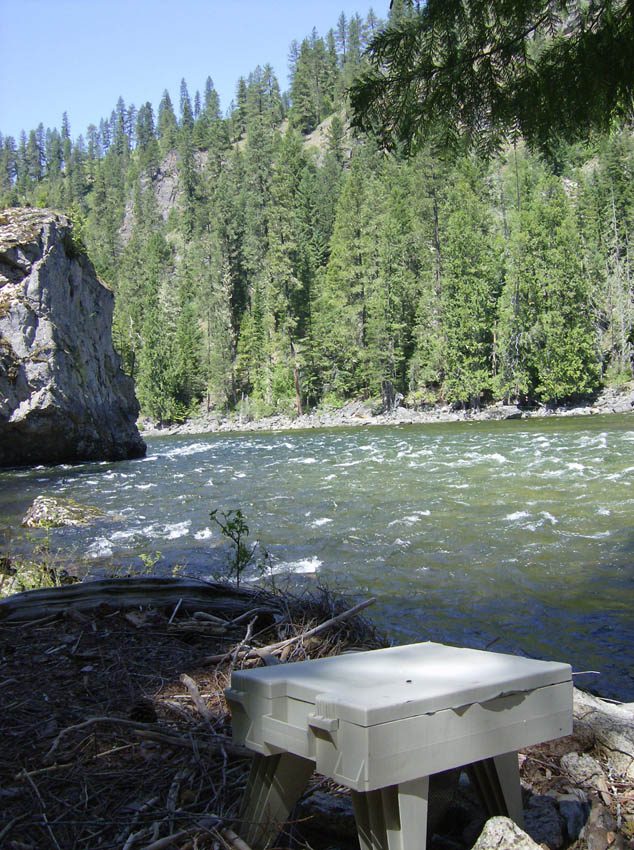
Before long a rattlesnake warned me that I was coming too close. I shooed it off the trail and continued on to check out the rapids. Double Drop looked pretty straight forward: two good sized drops, enter the first on the right then move left to the center for the second. Wa-Poots also looked straight forward: enter right of center and move left to avoid the monster wave at the bottom. Ladle looked like a big boulder field with tons of lines. The problem would be picking a good one. At first Little Niagra looked like a diversion dam - four-feet high all the way across the river with a recirculating hole under it. But as we got downstream of it we saw that the right side was a straight chute right down the tongue. We decided the only one of these "Moose Juice" rapids we'd need to scout the next day would be Ladle. As we were heading back we were able to see the group that passed us go through Ladel. They took a line we were eyeing and it looked good. We were set.
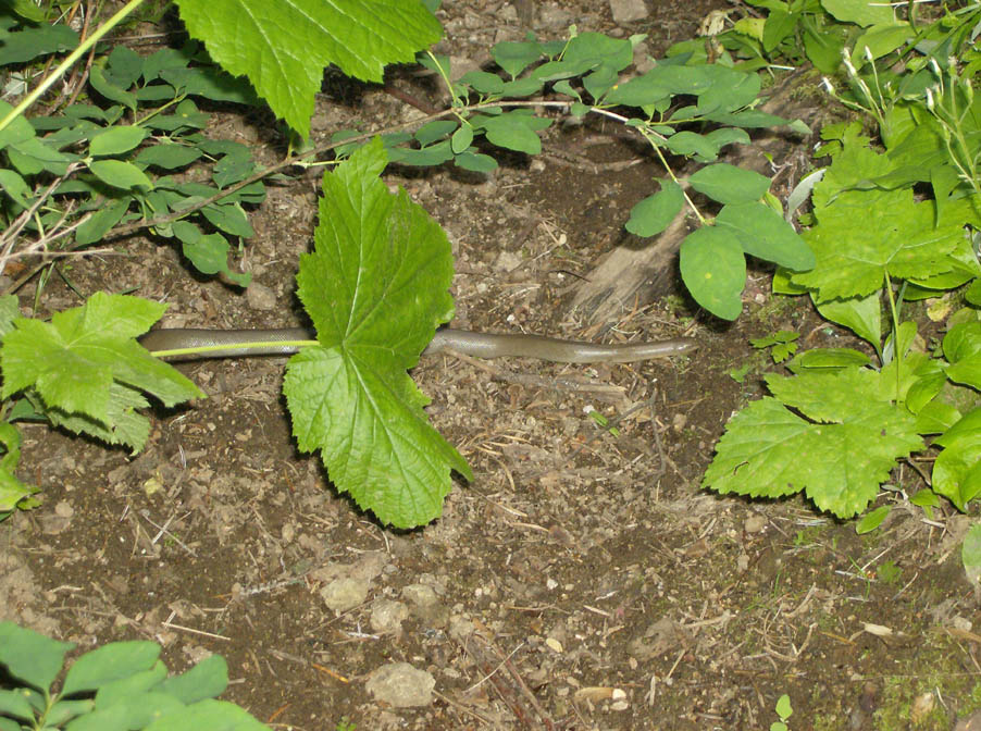
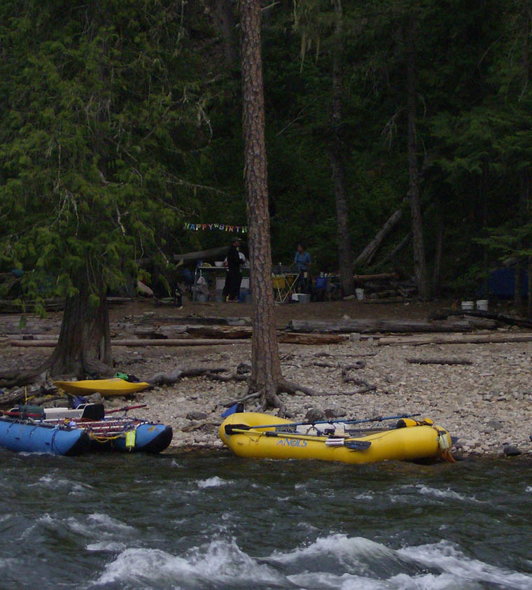
Scott went off to try his had at fishing some while I decided to head up Shissler Peak. It was getting on so I'd have to push it a bit to make it back by dark, but I told Scott to hold my dinner for me if I was late. On my way up I was attacked by a grouse. It was one of the wierdest wildlife experiences I've ever had - really freaked me out at first. Later I saw another snake, but at least this time it was not a rattler. That was all the wildlife I saw other than birds, rodents and insects (mosquitoes were a nonissue on this trip). I continued up to the lookout atop Shissler Peak and scoped the great views, then headed back down to camp for M'Leah's birthday celebration.
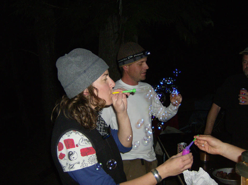
We were stoked for the rapids on the morning of Day 4. As planned, Scott and I told everyone the line on Double Drop. I took it a bit too casually and failed to get far enough left between the drops. Got stuck in the water recirculating below the second drop, but eventually pulled out. Everybody else managed just fine. Wa-Poots was fun and nobody had any problems there. We scouted Ladle, which provided an opportunity to get some video shots (movie). Betsy missed the line to the right, but ended up coming out just fine. It was a fun run. Little Niagra was a breeze and the rapids after that came in quick succession.
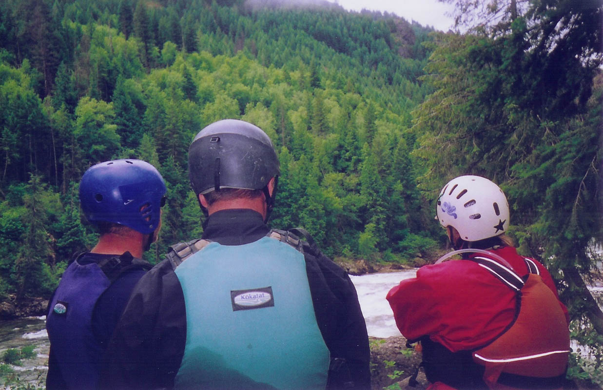
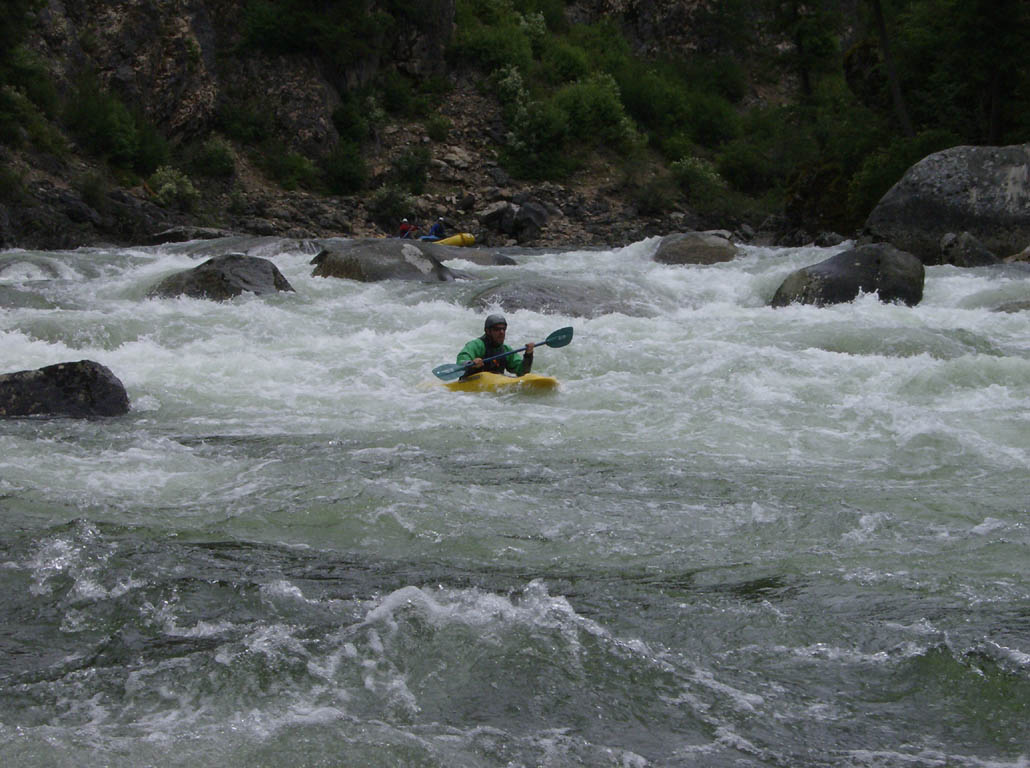
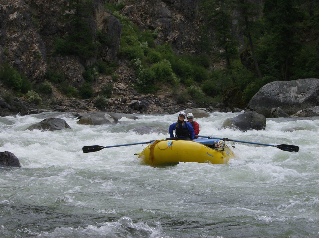
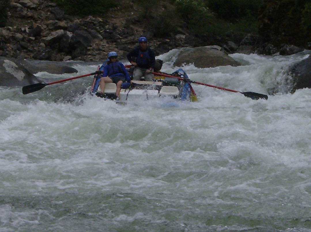
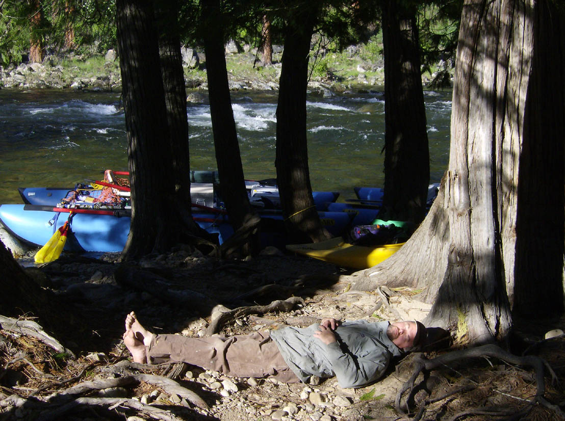
Scott got a bit topsy-turvy in No Slouch and found he could not roll the kayak he'd borrowed. He popped out of it a bit shaken. After flipping again in Miranda Jane he decided to ride with Mitch for a while. This is another stretch that most definitely keeps you awake. The rapids are really no problem though: just avoid the big rocks and have fun. Lunch would be at the Tango Bar. This was a fabulous spot. Most of the bar is rocky, but the downstream end is a sandy camp site with a big swimming hole. We even had enough time to have a siesta.
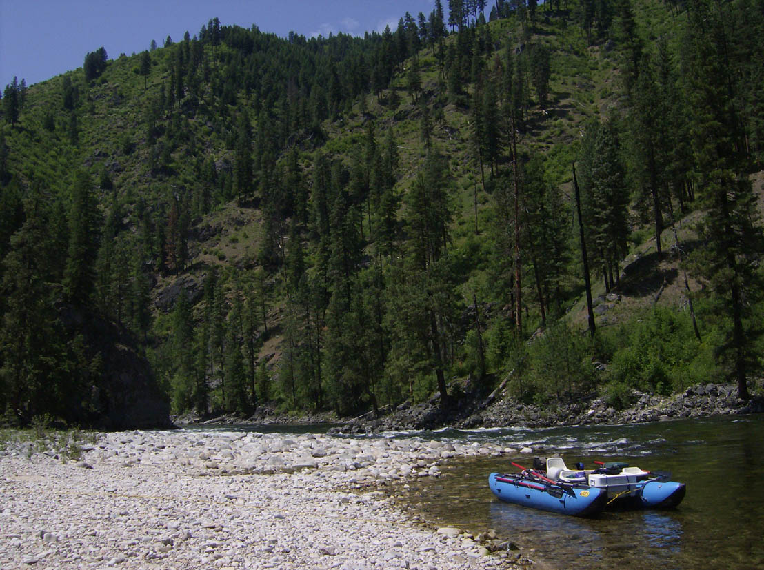
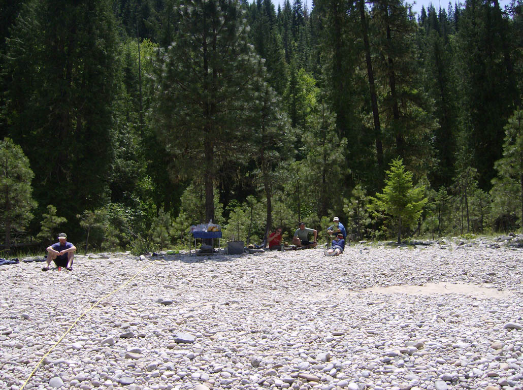
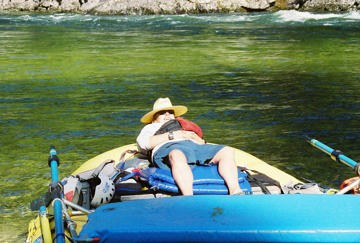
After lunch we rolled on down to Wolf Creek rapid. The ranger had told us that this rapid had changed significantly within the past two years with a good sized slide. But it looked an aweful lot like the pictures I'd seen of it on the web. Regardless, we scouted it on the right. It was essentially a run on the right through a very big wave followed by a short drop with a narrow entry. A raft could just catch the left edge of the wave behind it by entering near the center, but there wasn't much room to err on it. Mitch found out that the 16-foot rafts could handle the wave. Betsy nailed her line. I followed on through after catching the other boats on film (movie).
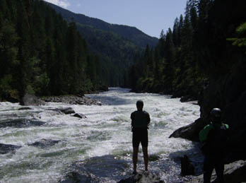
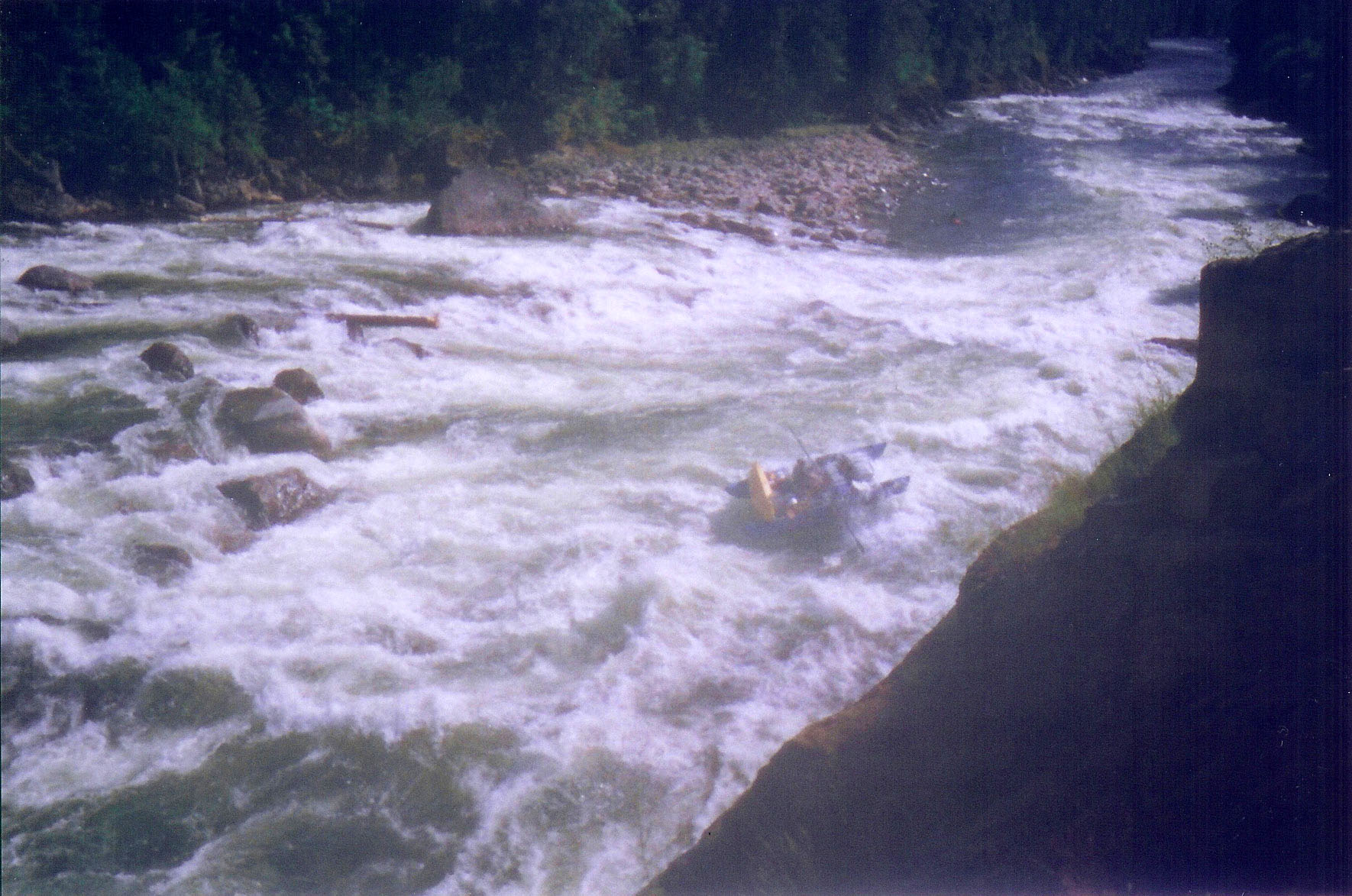
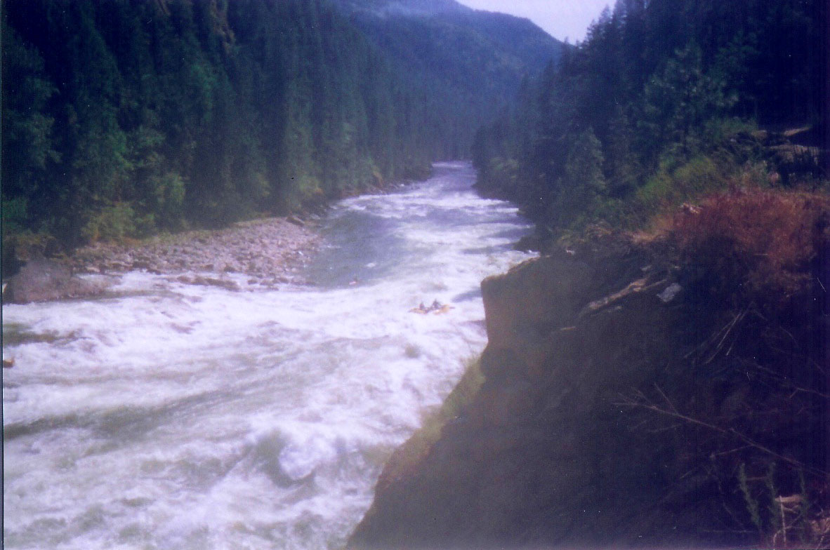
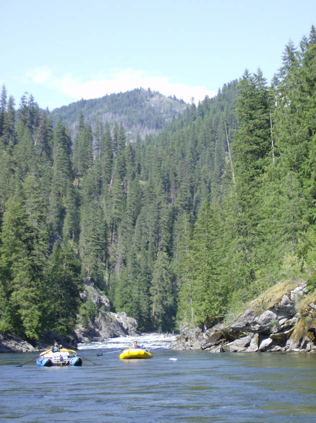
We decided to stop for the night at Ballinger, but there were some backpackers camped there. It sure looked like a gorgeous spot. We floated on past, ran Jims Creek rapid (movie), and pulled in at Tee Kim Falls. This campsite was a huge beach and not much else. The groover site here was back toward Jims Creek and it was the most scenic of the trip. We got into camp in time for Scott to give M'Leah a lesson on how to flip a kayak while the rest of us took it easy. After that we ate yet another terrific dinner and headed off to our last night's sleep on the river.
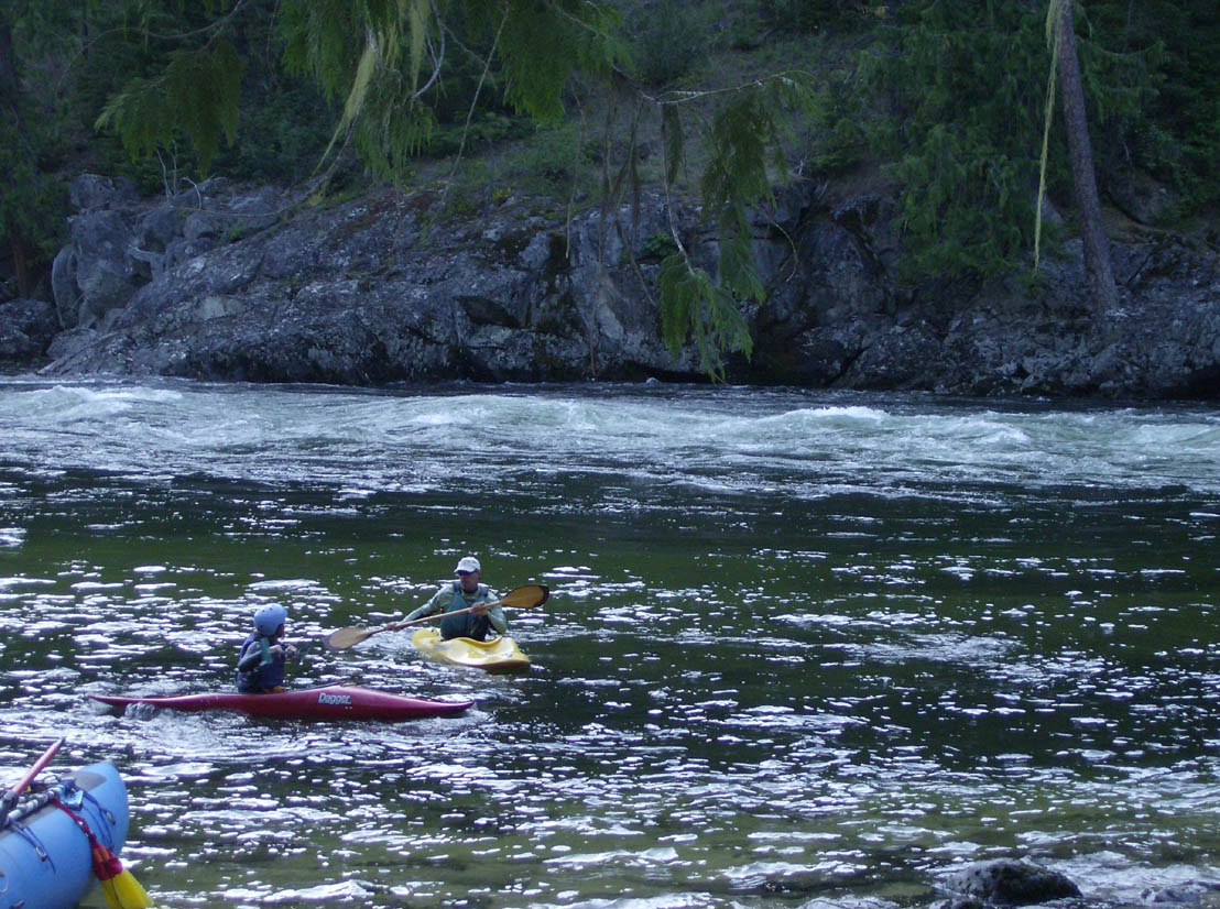
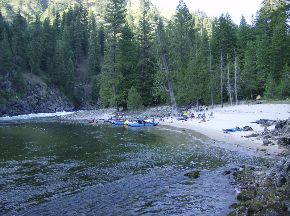
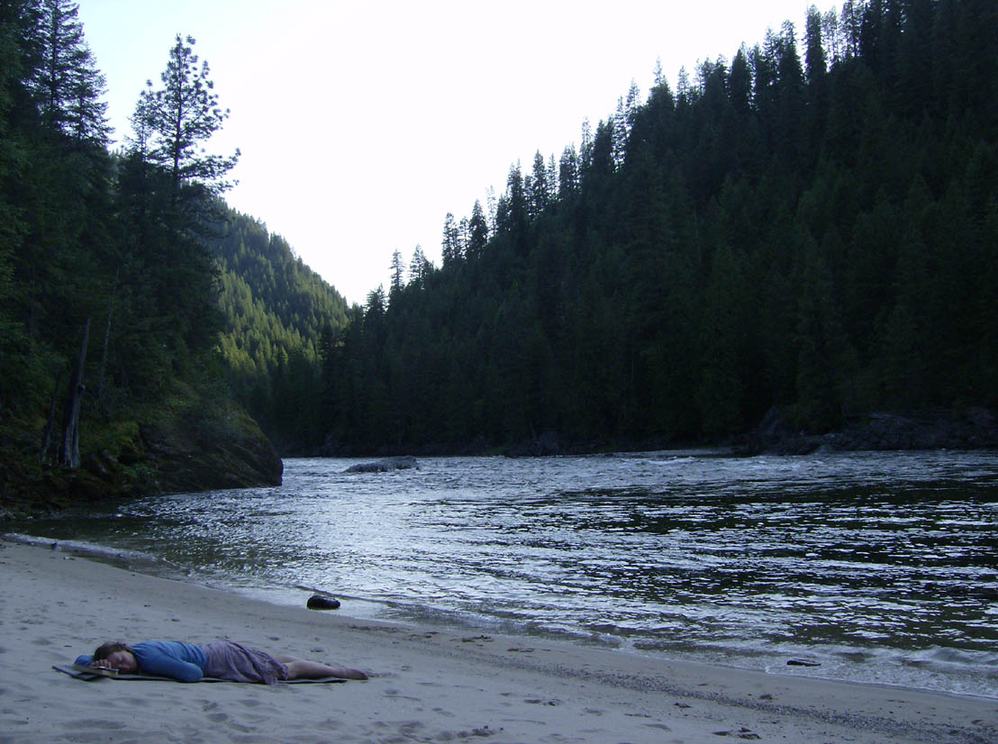
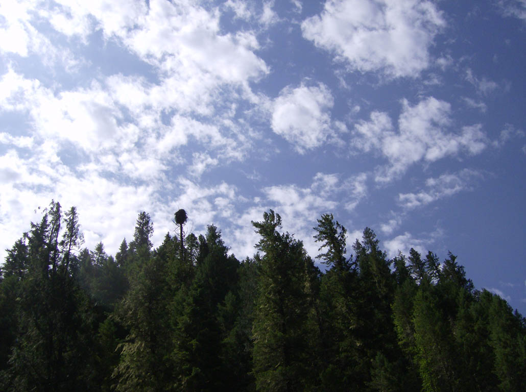
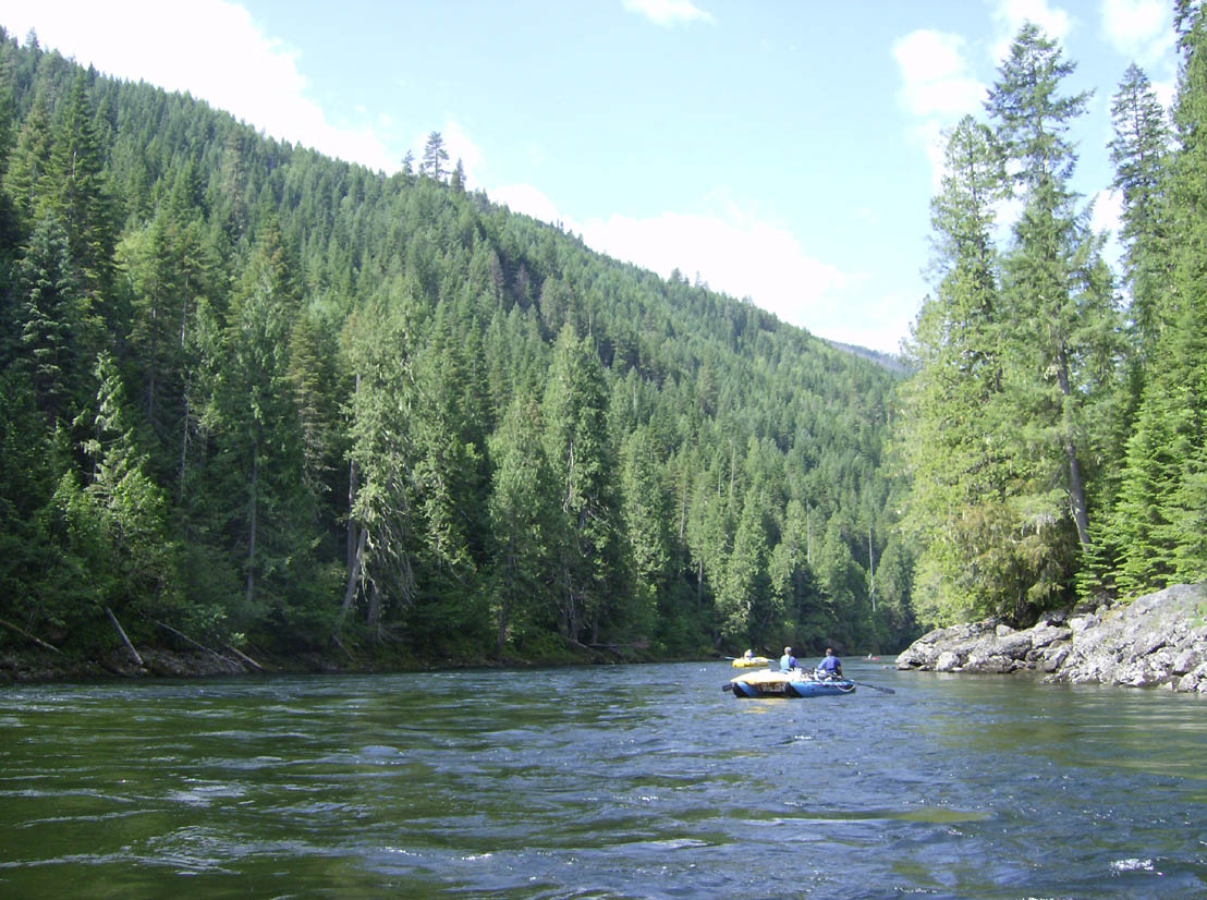
The fifth day was our last. The river must have sensed that we were winding down and let us know by easing up. The rapids below Jims Creek were not very exciting, but they did keep everyone awake for the six miles to the Race Creek takeout (which is closer to, but above, Meadow Creek). Not that the scenery wasn't enough though. Osprey nests in snags high above the river were popular. Merganzers carrying their young on their backs and the young ones sprinting about also kept us entertained.
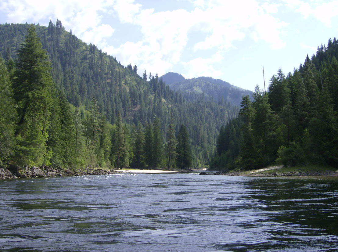
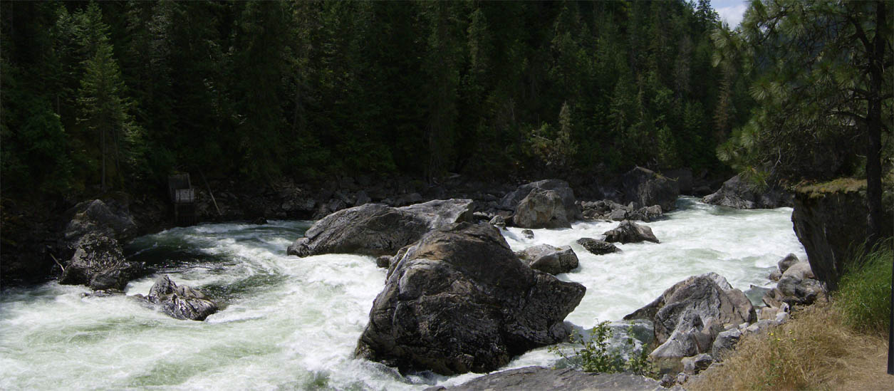
The ramp is a dirt patch just on the downstream side of a rock outcrop and it is easy to miss. It is plenty adequate, but doesn't look like it would be the best spot around. We sent a person on down (on the shore) to make sure there was no better place. We set out getting the vehicles, taking down the rafts, and packing the gear and ate lunch while all this was going on. After that we drove down stream to check out Selway Falls. While we were there a tourist-type asked us where they were - I guess they were expecting a big waterfall instead of a big rapid. But the river certainly does drop through there. Of course we discussed what the best line would be if we were to float it (ha!).
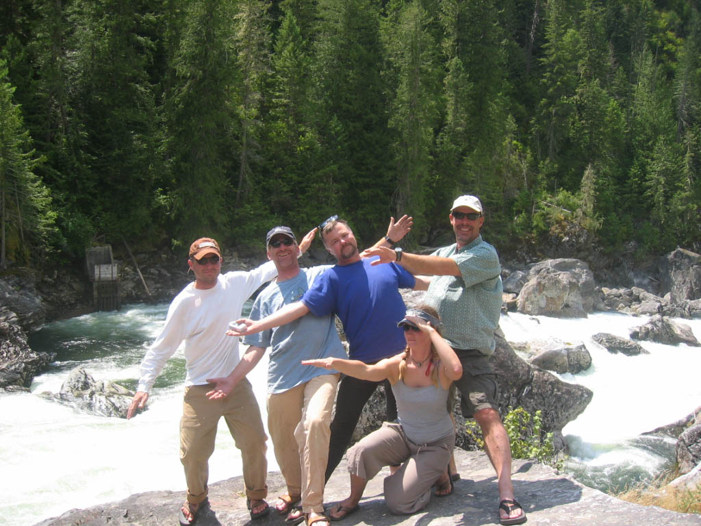
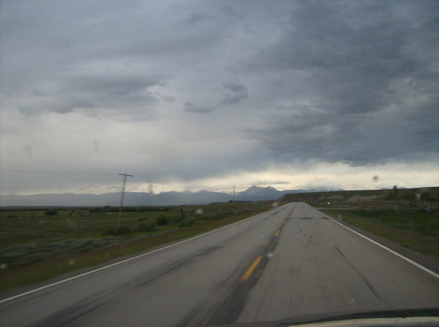
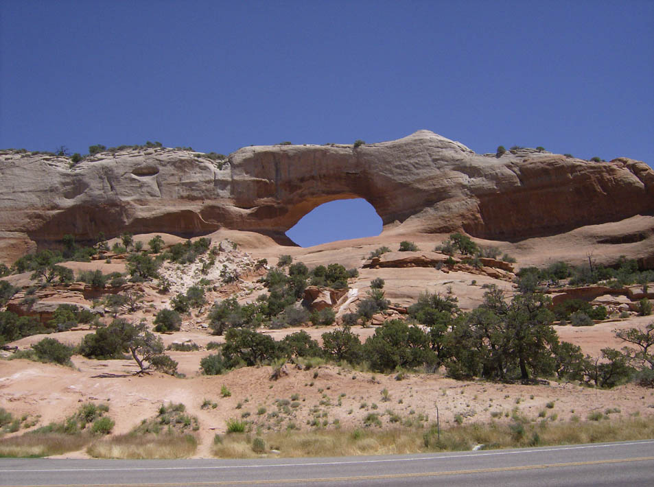
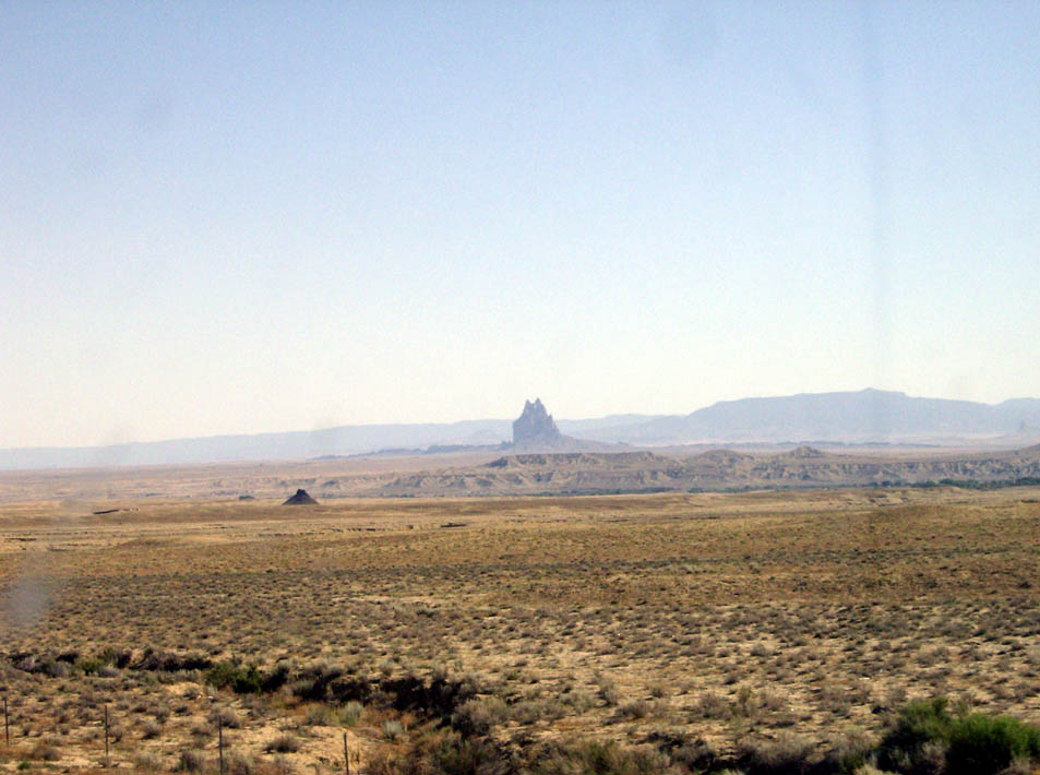
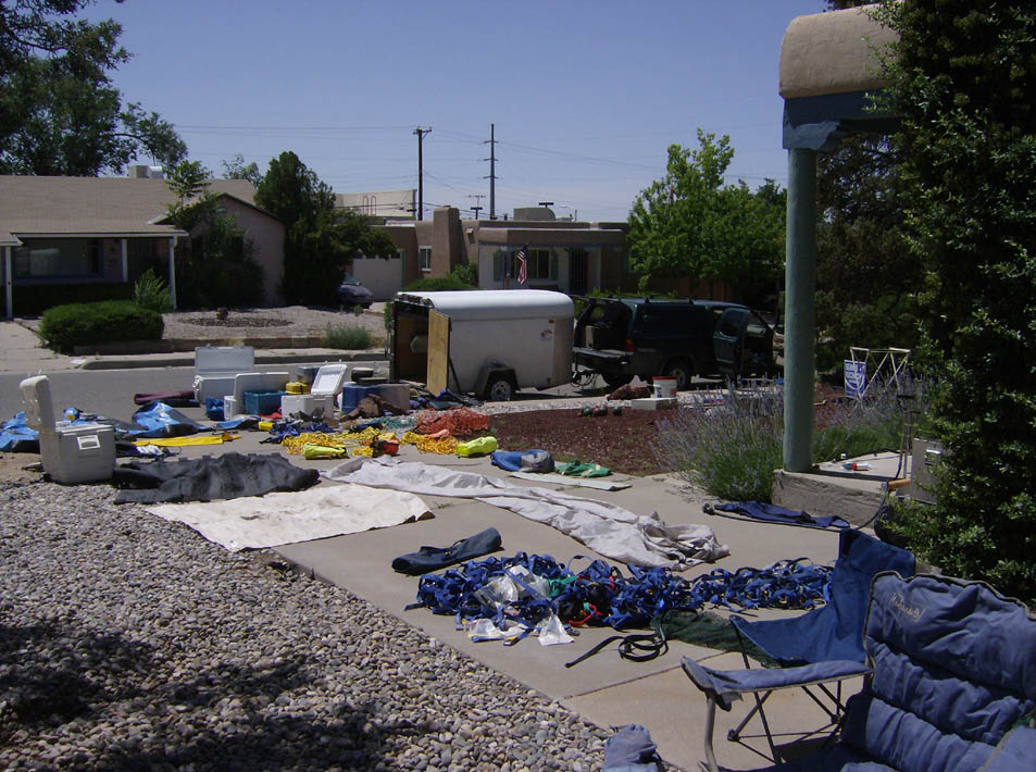
After that we took off. Scott and Mitch stopped on the Lochsa to play. They were going to stay another night. Betsy headed off to return the raft she'd borrowed. M'Leah, April, Bowdie, and I piled into the truck and started a long drive home. We stopped by the historic Fenn Ranger Station to let them know we got off the river safely and depostied our trash in their dumpsters (just down the road a bit further). The drive was long - very long. We got into Salt Lake City at around 2 a.m. and pretty much crashed after getting everyone's gear out of the truck. In the morning I woke up early and slipped out before anyone else was awake to finish my drive back to Albuquerque. I wish I'd have had an extra couple of days to play on the way home but that was not to be. I would just have to enjoy the sights from inside the truck. Despite the long journey and the obligatory clean-up on the back end, this is a trip to remember.
