Desolation and Gray Canyons
Green River, Utah
June 2005
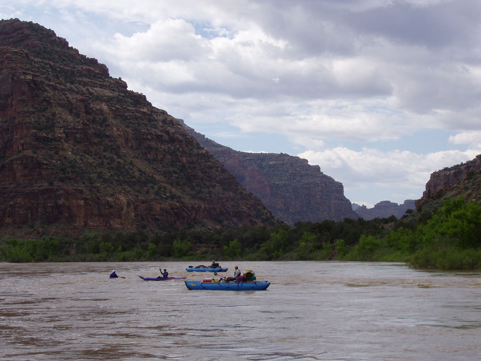
Rivers all around the Southwest were at flood stage. Just the other day a picture of a rafter flipping at Souse Hole on the Rio Grande appeared on the front page of the Albuquerque Journal. We were all excited, as flows were hitting 30,000 cfs on the Green. It would be the biggest water most of us had ever seen.
Larry's brother Curt flew into over the weekend. Chris flew in on Monday morning and we loaded up the trailer, stopping at Larry's for him and Curt. The four of us drove through Durango and Ouray to Grand Junction, Colorado, and spent the night in a hotel there. The next morning we got up and headed to the put in. The last part of the drive was through vast fields of oil wells and globemallow. When we reached the put-in we were the only people around and couldn't find the ranger to check in so we started rigging our rafts
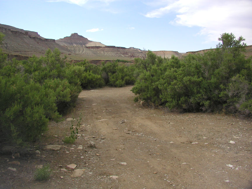
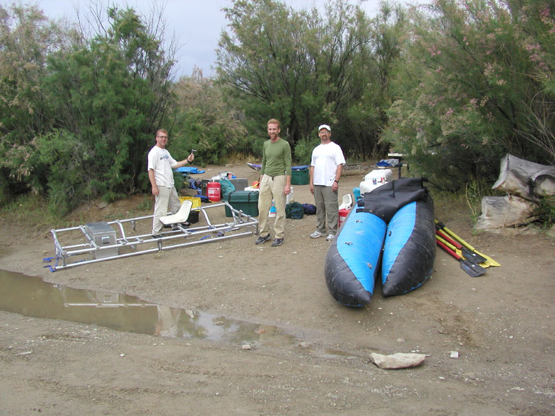
We soon heard a pump start up from over by the latrines, and a little while later the ranger came over to say hello. He told us there would be a couple more groups coming in so we'd have to make room at the put-in for them - the water was so high that the regular put-in was submerged and all that was available was the road leading to the water's edge. Two groups arrived in short order, one commercial and one private, both planning to stay the night at Sand Wash and put-in the following day along with us. Scott and Dana showed up too - they'd been on vacation for the previous week or so and were wrapping it up with more river time. The rain also arrived late that afternoon.
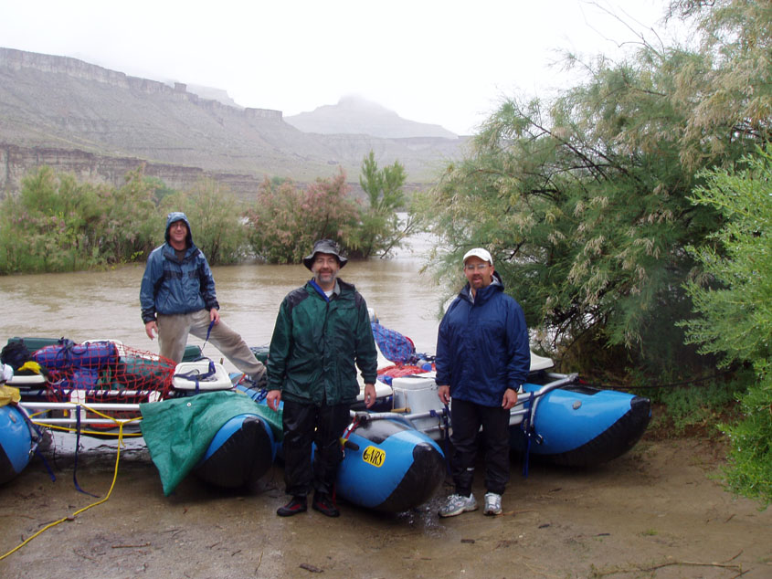
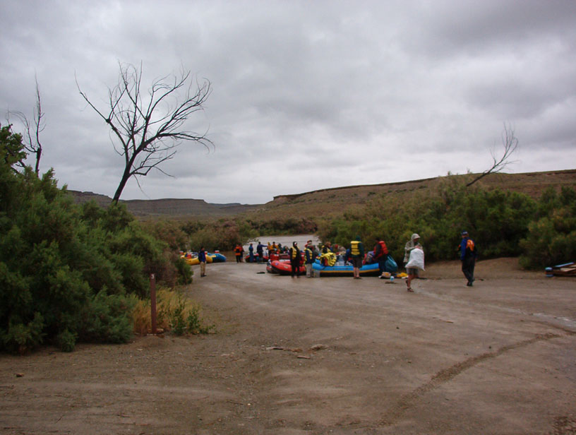
The rain didn't let up all night, and neither did the loudly partying private group. Though rude and terribly uncouth, they were freindly enough and continually invited us to join them. We refused, finally able to get a little sleep when they went to bed in the wee hours.
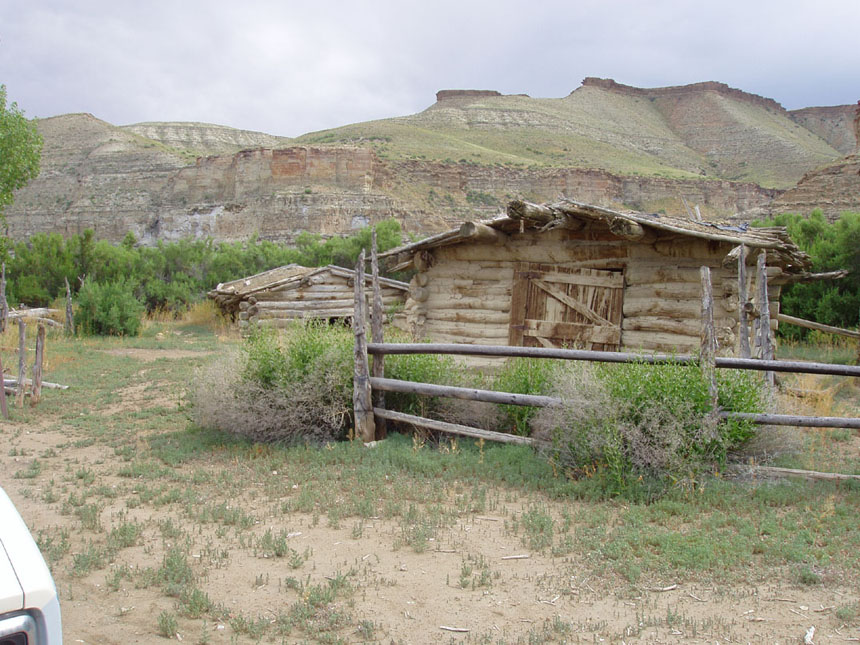
The next morning Chris and I hiked around a bit. There was a wierd old low-standing ranch building and a couple other structures near the put-in. Then we took off, commenting that the Green was so wide it looked like the Ohio!
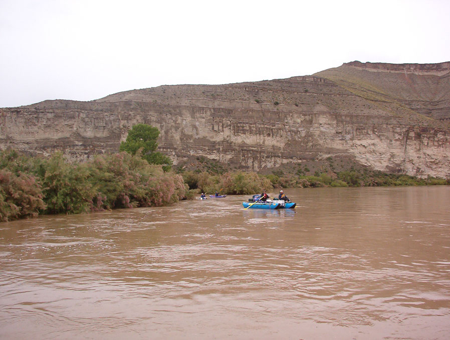
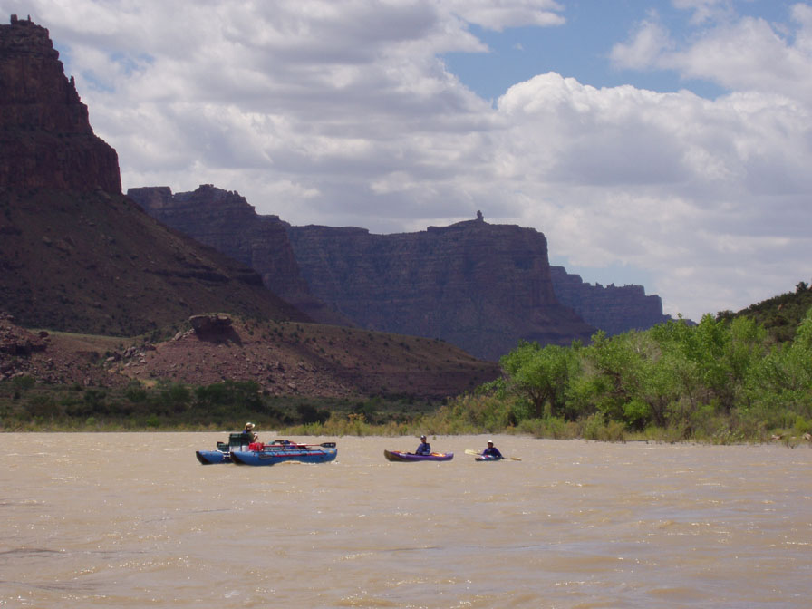
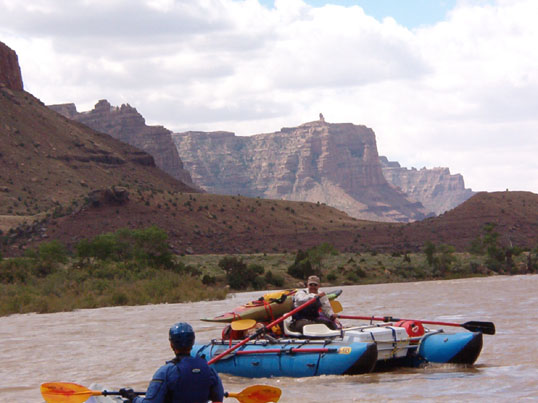
It was a cold morning, but the rain had let up to a gentle sprinkle. We were six people and we had three rafts and three kayaks (two hardshells and one IK). Scott strapped his kayak to his raft in the hopes of using it some, since this was Curt's first time on a river and he'd have to get comfortable enough rowing to go solo before we could put the sixth boat in the water.
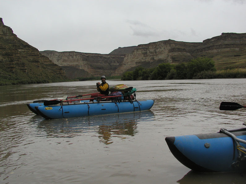
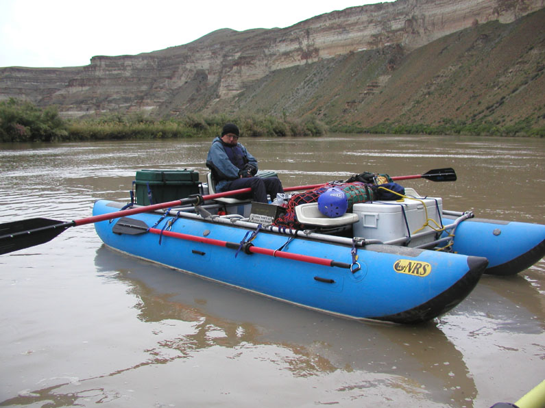
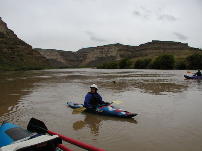
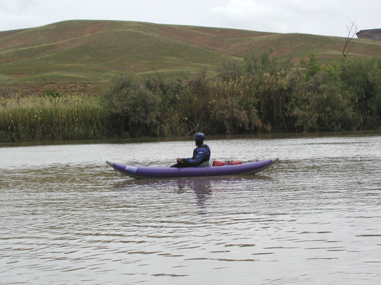
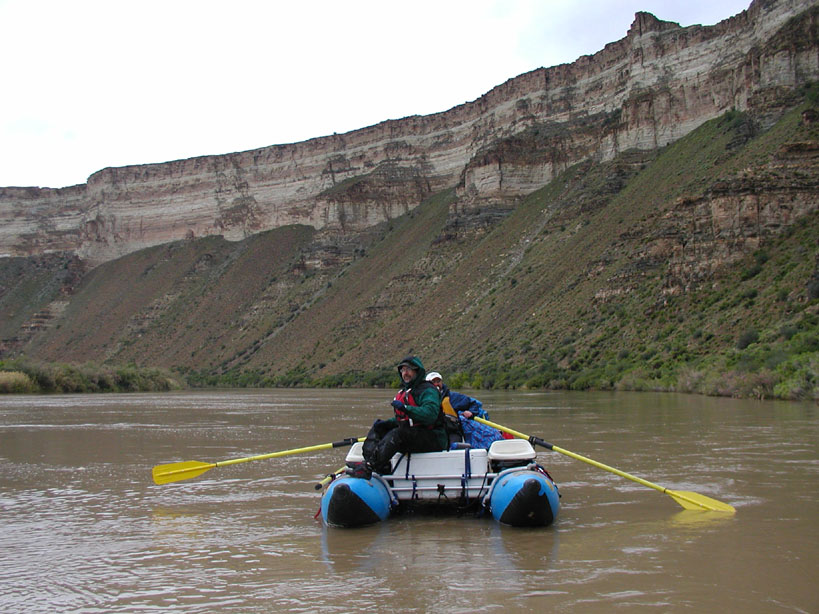
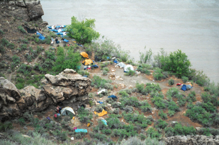
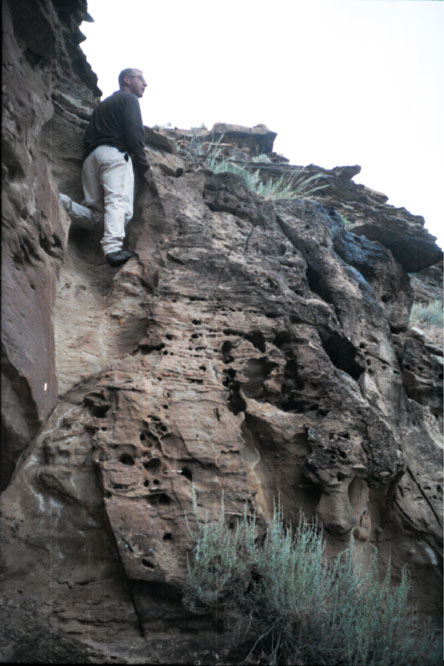
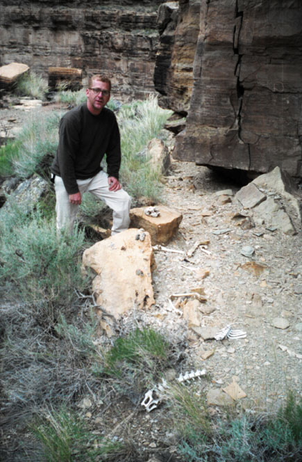
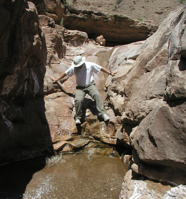
The maps showed a class 2 riffle about 9 miles downstream, but the big water was washing it out so that it wasn't even noticable (this run uses the Western Scale). Since we'd gotten off that morning at about 11:00 our lunch stop was quite late after about 11 miles at the head of a canyon on river right. All of our stops the first few days had to be on the right because the left bank is Uintah and Ouray Reservation land, which would require special permits to enter. It was hard to spot a take-out through all the tamarisk on the right, but we managed. After that, it was only another 2.5 miles to our first camp at Mile 82.1. This campsite is nice for a small group like ours. Chris and I climbed a move or two to get over a waterfall, then hiked up the canyon a ways. We saw a large owl fly by, and found many owl pellets and bones under what must have been one of its favorite hang-outs (and perhaps a larger predator as well).
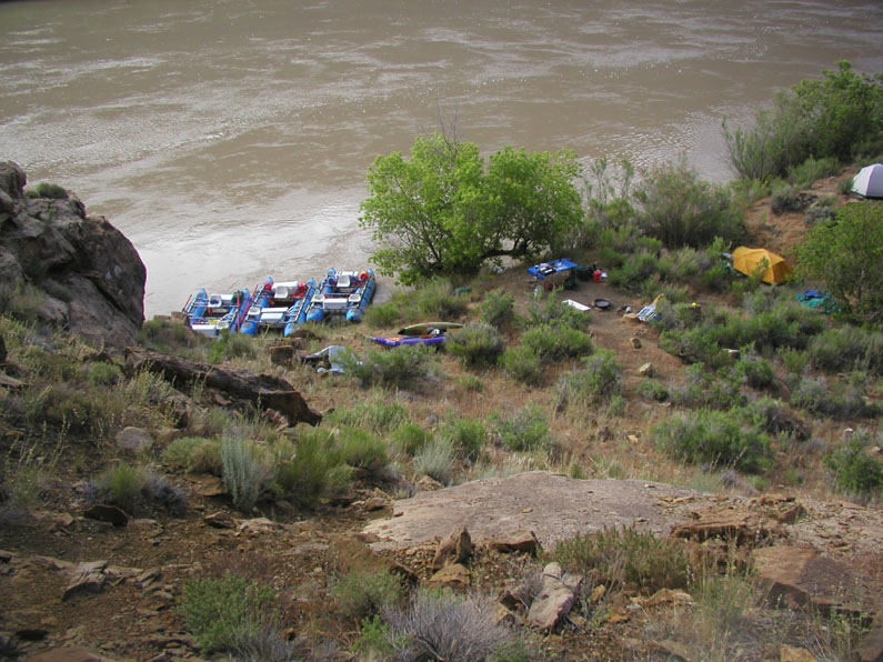
Day 2 of our trip dawned brighter, with clear skies and not much hint of rain. The weater was finally cooperating enough to let us dry out a bit and clean off the boats some.
There were only 2 named rapids on our second day. Both of these are class 1 and consisted of suprisingly large waves, but nothing that required any maneuvering.
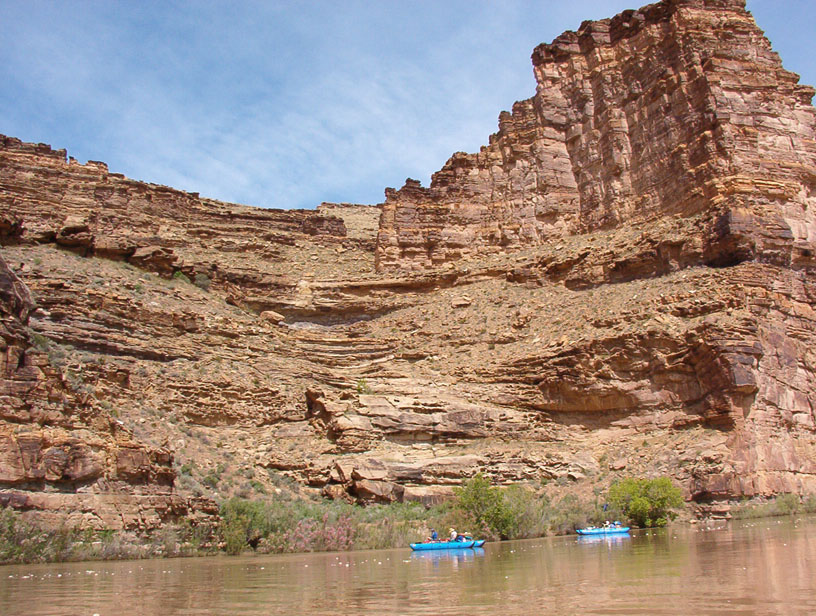
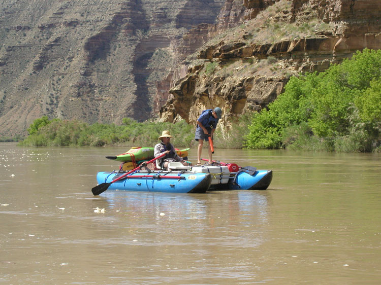
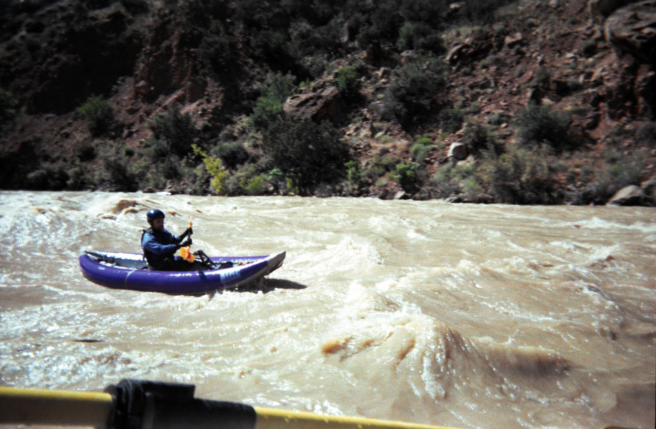
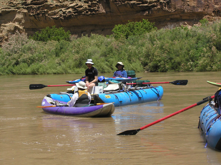
All the campsites on this stretch of river appeared to be nice, and the ones that look large on the map (Opposite Stamped Flat and 77.2) looked large from the river. We stopped to camp 12 miles from our previous camp at Jack Creek, just at the head of the first class 3 rapid. This was the only place the entire trip where misquitos would be an issue - not enough here to require netting, but plenty to be easily noticed and definitely using repellant. There were rumors that there would be bad bugs at the put-in and for the first few miles, but we had no problems this time of year with the rainy weather. The lot of us took a nice hike up Jack Creek that afternoon.
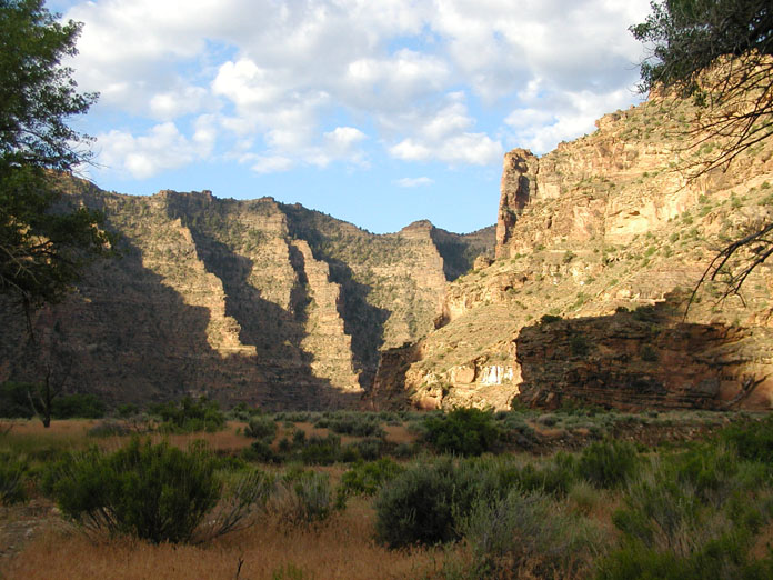
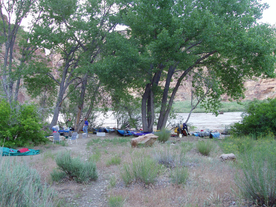
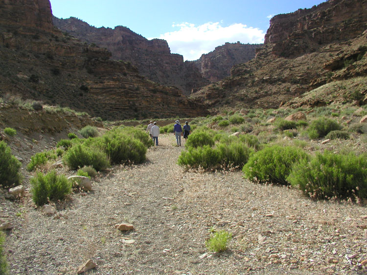
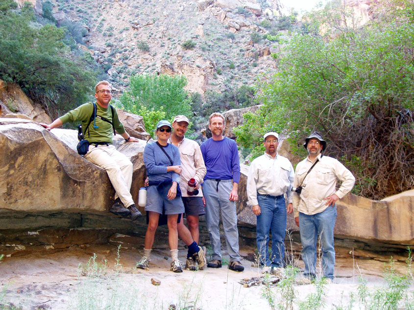
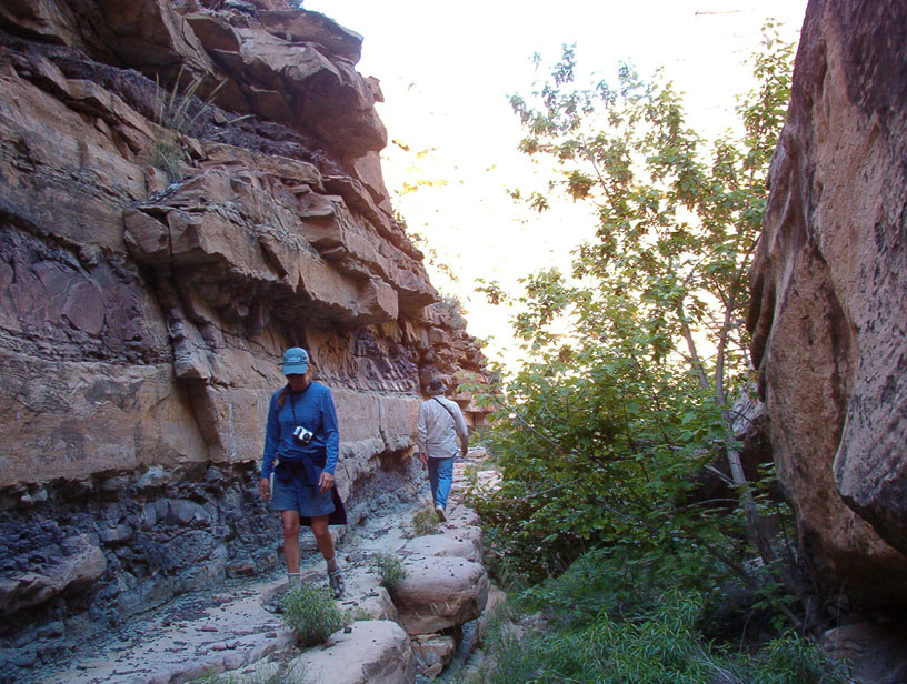
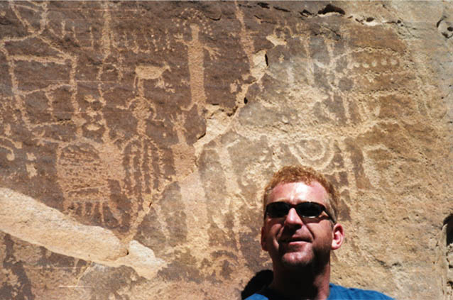
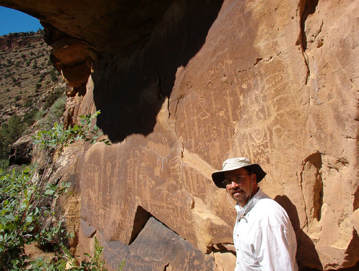
Day 3 presented many named rapids, most of which were small, and a great petroglyph stop. The petroglyphs are on the right at mile 63.3 and the pull-out is hard to spot. It has a steep bank, and we almost missed it by thinking we could see around the corner toward Flat Canyon from there (stop at the first likely opportunity past Big Tree). This is one of the better panels I've seen, and it is accessible very near the river. It was an exciting stop for Curt, who'd never seen petroglyphs before.
Some of the day's rapids had decent sized waves, but none were difficult or required scouting until we reached Steer Ridge. This is rated class 5 and we had been advised to scout it by the ranger, so we did. Scouting was easy from either side of the river. This rapid had a big hole just left of center that should be avoided (although I decided to hit it full on for some excitement). The best line ran on the left.
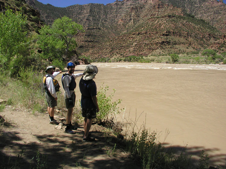
Suprise Rapid came quickly on the heals of Steer Ridge, and it provided as much excitement as Steer Ridge (unless you hit the big hole in Steer Ridge). A phenominon new to us caught us by suprise at this rapid: large standing waves would sink to nothing, then reappear. We noticed this in many of the rapids from here on and we attributed it to the big flows. We stopped for lunch at Rock Creek and took a hike up the stream there.
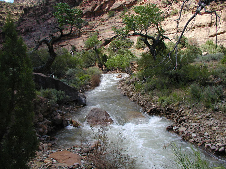
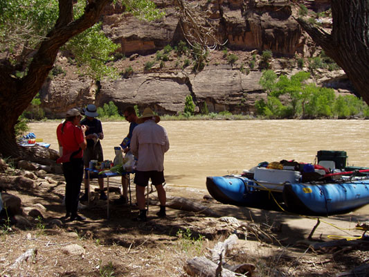

The cheat grass was horrible. It got stuck in every nook and cranny and in the fabric of everyones shoes and socks. Despite this horrible weed, we pushed on to visit the Rock Creek Ranch just downstream of our lunch spot.
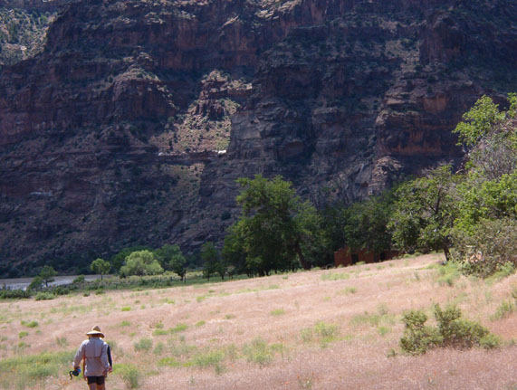
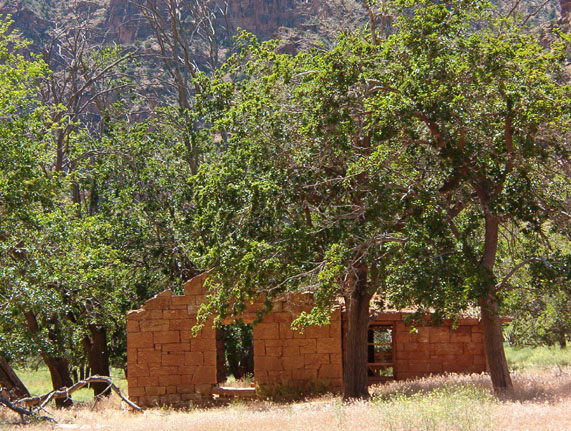
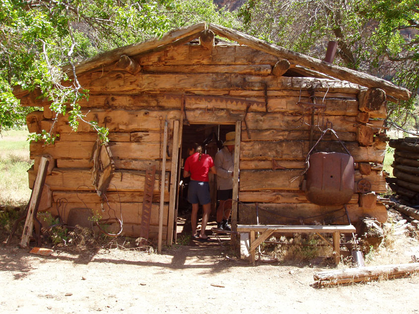
The rapids after Rock Creek were again not much to speak of. Decent sized waves made them lots of fun, but setting up for the V was about all the maneuvering that was required. An occasional obvious rock would be in them and these were easily avoided. There was a herd of horses hanging around the river near Three Canyon.
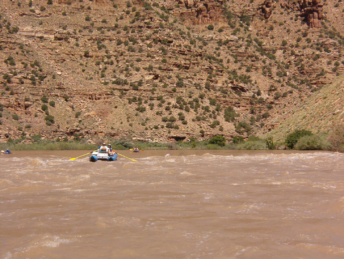
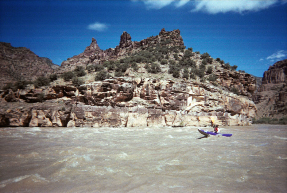
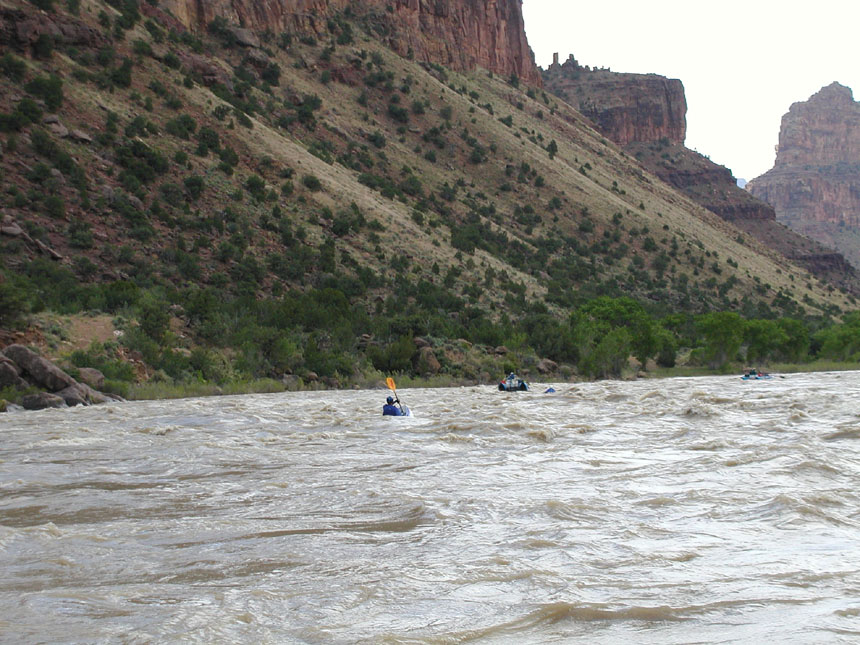
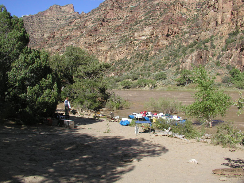
We continued on to Lion Hollow for our camp that evening.
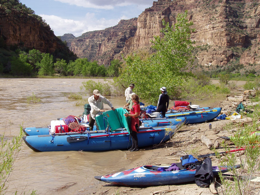
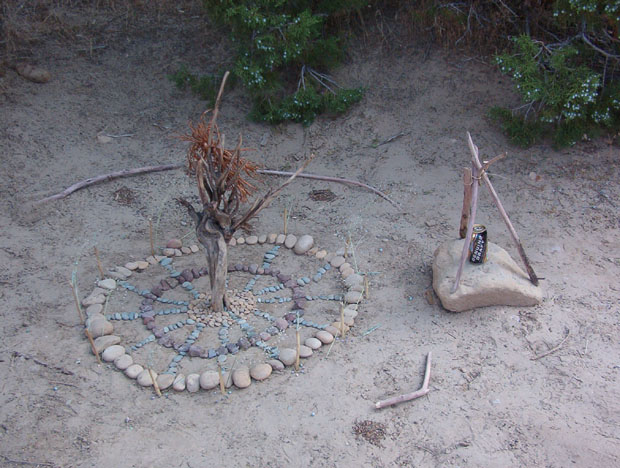
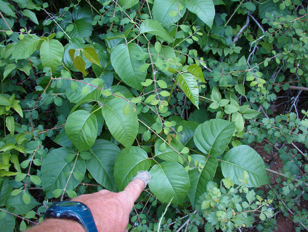
Again, Chris and I sent off for a hike. We went up Lion Hollow until poison ivy started to block our path.
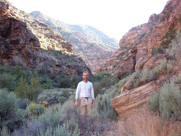
The moring of our fourth day on the river was a lot of pleasant floating. A wicked wind blew in late in the morning, but we've never let that spoil our fun.
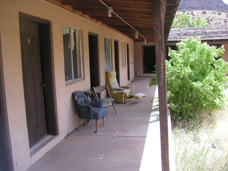
We stopped for lunch after about 8.5 miles at Florence Creek (of course!) so we could check out the McPherson Ranch and the Ouray Lodge. The cheat grass was once again a pain in the foot to deal with.

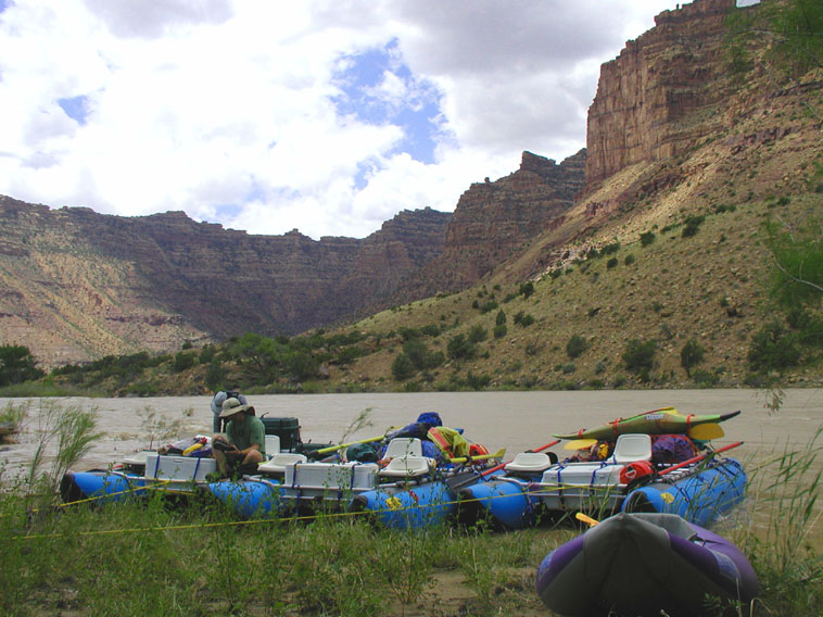
Just past Florence Creek is a pair of major rapids. Wire Fence did not pose any real problems, but a sleeper in the center at the bottom required some quick rowing to avoid. Once through Wire Fence it was a hard pull to get off to the right so we could scout Three Fords. Three Fords is a major rapid. Lots of big holes. The line we all chose was to the right of center, and it flushed us on through nicely.
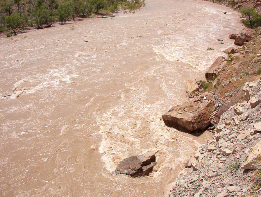
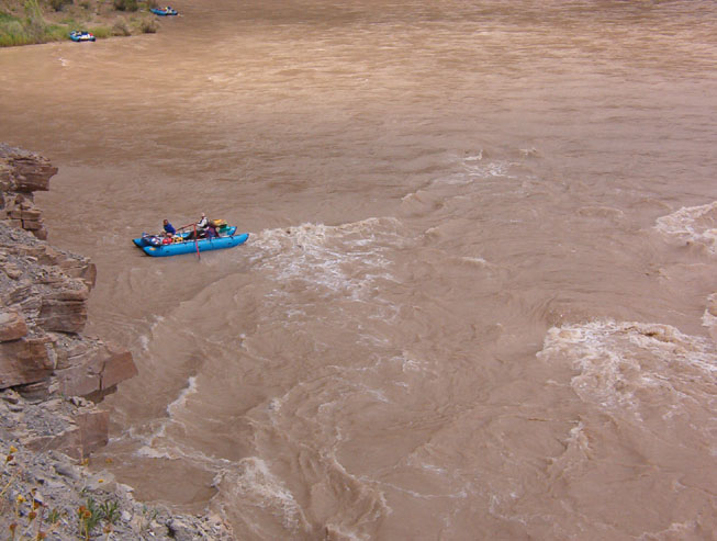
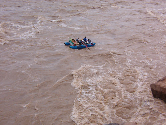
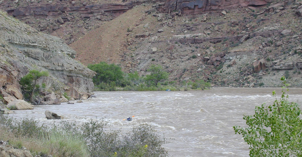
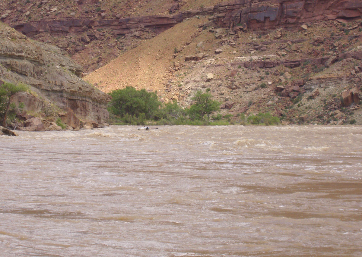

Just past Three Fords Rapid is where Desolation Canyon ends and Gray Canyon begins. Gray is not quite as impressive as the tall red walls of Desolation, but it is just beautiful with its lower, sloped sides.
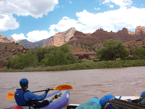
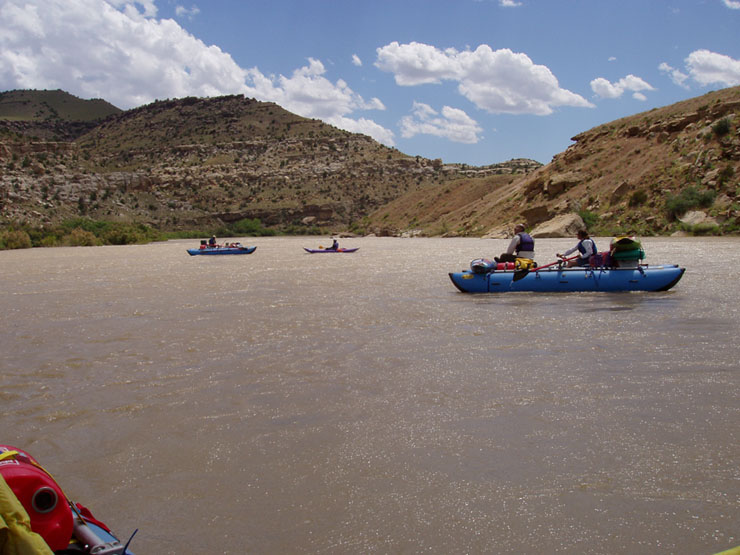 Strong winds kept up through this area for the next hour or so. We planned on staying at Upper Range Creek campsite so we could hike the Golden Staircase, but it was taken and we would have to move on to Lower Range Creek. It had been a long day and we were wanting to get off the river after covering 17 miles. One of our guidebooks said there are lots of campsites all along the river through this area, but we could not find any. We even stopped and Chris walked along the shore on the other side of the tamarisk searching for one. Our assumption was that they were all submerged so we decided to moved on at stay at Rabbit Valley since we could also hike from there. Unfortunately, this campsite was also taken. There was a good looking site on river left across from Rabbit Valley that we considered, but without a permit we just continued on.
The next stretch of river was very slow. HUGE eddies on both sides of the river merged in the center, requiring some oaring to keep in the downstream-moving current. It was through this area that we spotted the some bighorn sheep above the river.
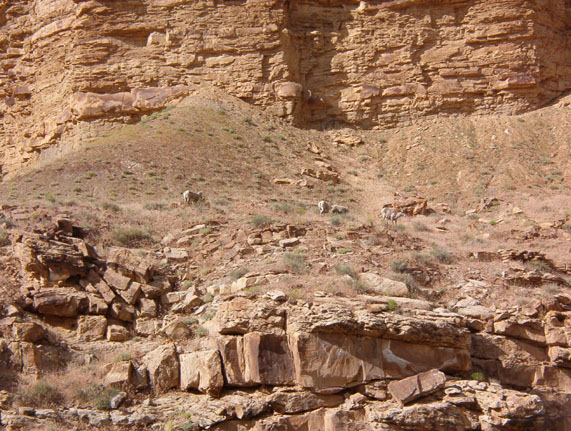
There was an obvious pull-out on the right - the only cut in the tamarisk around - just upstream of Coal Creek Rapid - the biggest on the trip. There were many gun shots coming from across the river, and we hoped whoever it was wasn't shooting our way as we scouted. There was a very, very big hole on the right, and lots of rocks in the shallow water to the left. The line was just right of center, just left of the big hole. That would be followed by lots of big waves before the river took a bend to the left and calmed down. It was clear once in the rapid that the standing waves were rising and falling - to the point of disappearing and reappearing - here too.
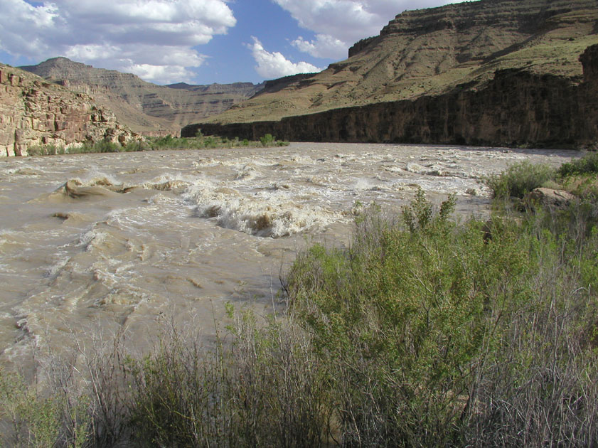
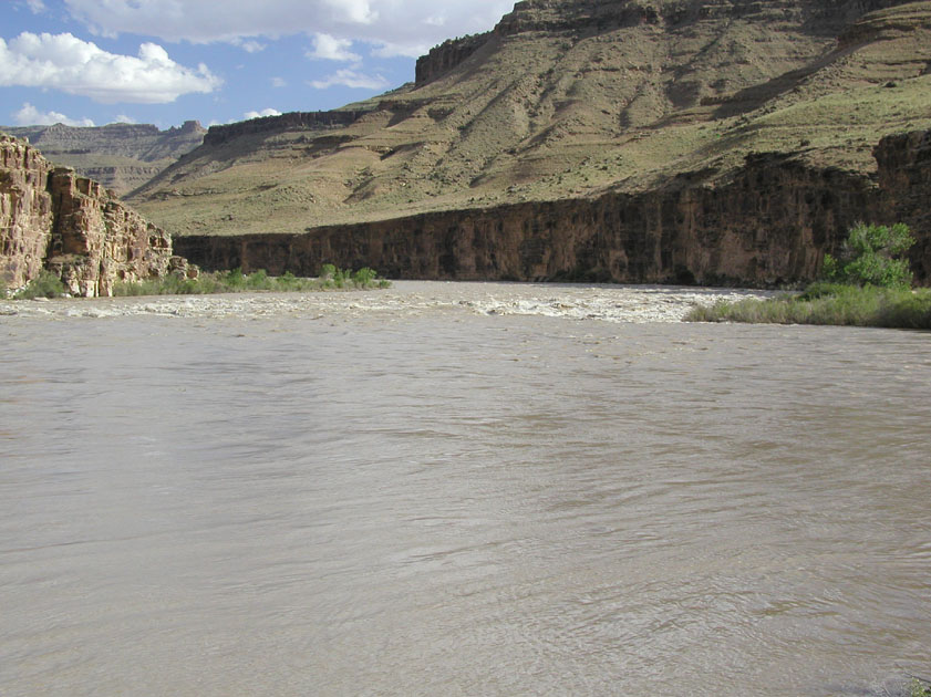
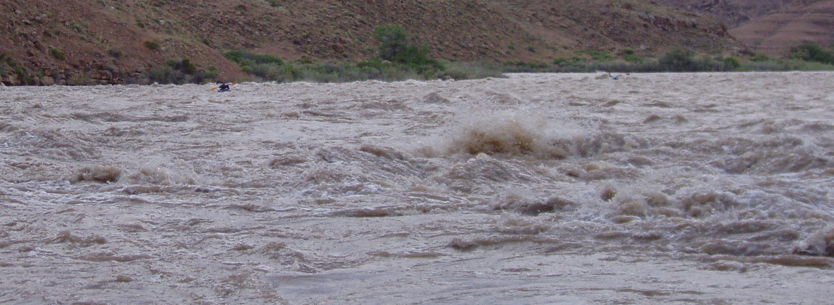
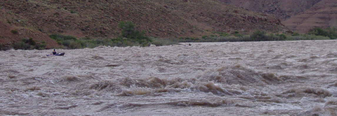
After we got through the rapid we found that the big private partying party from the put-in was shooting guns at the campground Below Coal Creek. Go figure that the rednecks would be the ones... The biggest disappointment was that we now only had one more shot at a campground before we'd have to go several miles more. It was getting late and we were getting tired.
Poverty Camp was 23 miles from our last camp at Lion Hollow and we were truly glad it was available. It didn't look like much from the river, but it was pretty decent really. We decided that since we had had such a big day and only had 13 miles left before the take-out at Swasey, we would stay over here two nights. Poverty Canyon looked like it would make for a decent day-hike and there was a great eddy on the left by camp that we could use to run laps through Poverty Rapid. Poverty Rapid was like most of the rapids, good waves without the need to maneuver much.
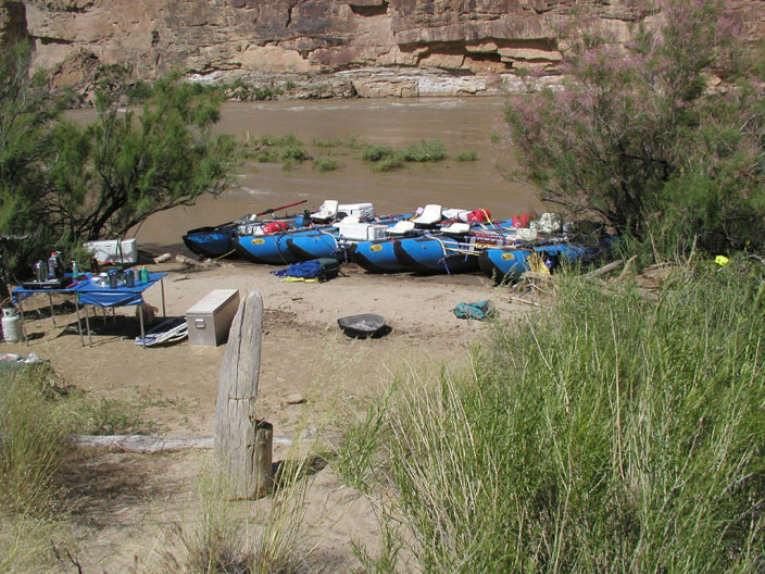
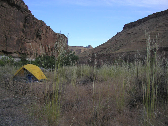
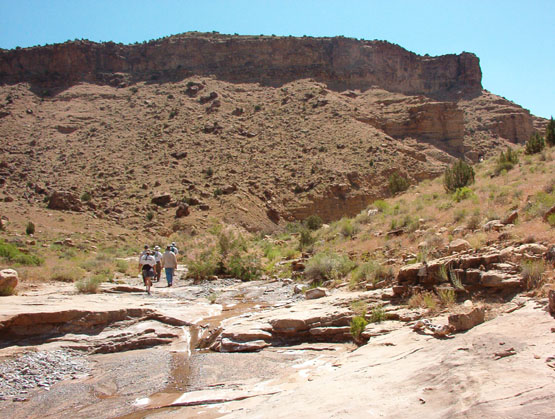
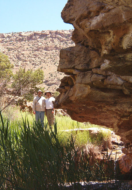
So that's what we did on day 5. A nice day hike - Chris and I went on a bit further than the others - followed by the kayakers playing in the river.
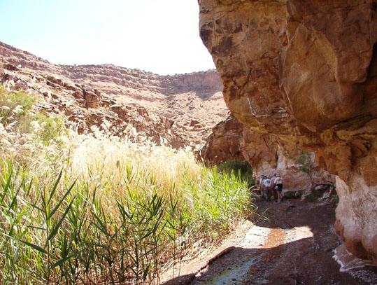
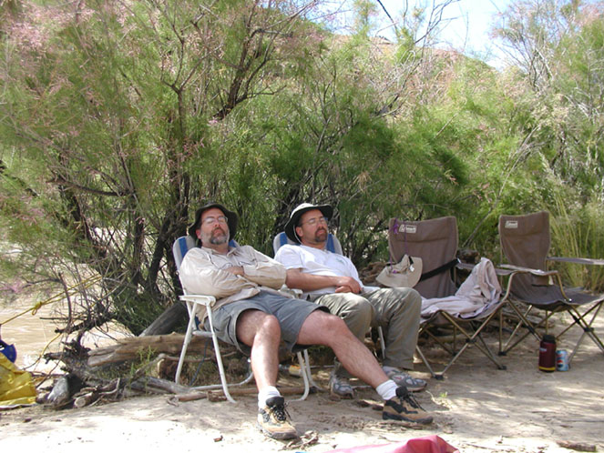
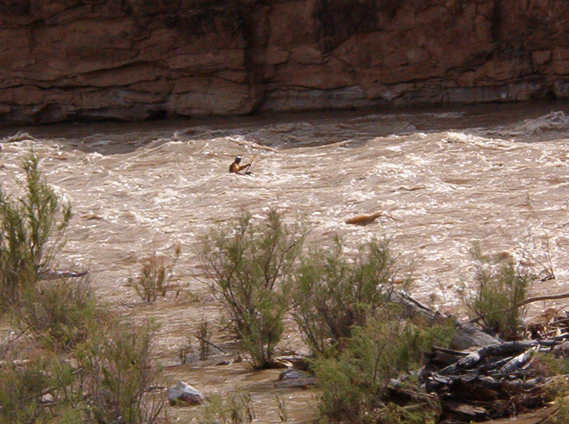
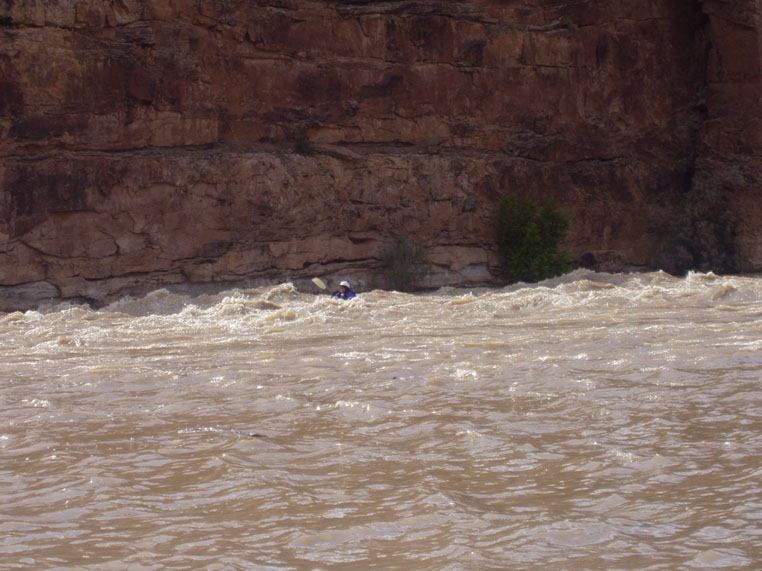
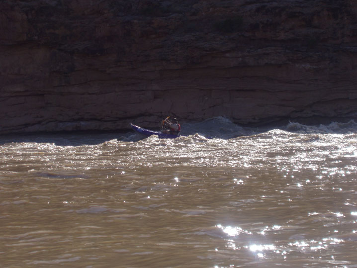
The last day, day 6, was once again gorgeous. The canyon became more sheer and the weather was sunny and mild. By now Curt had his sea legs and was comfortable enough that he piloted his own raft, so we got all 6 boats on the water. Rattlesnake Rapid was the first rapid of the day, and we all handled it with ease. Then we headed on past Nefertiti, with its name-sake formation.
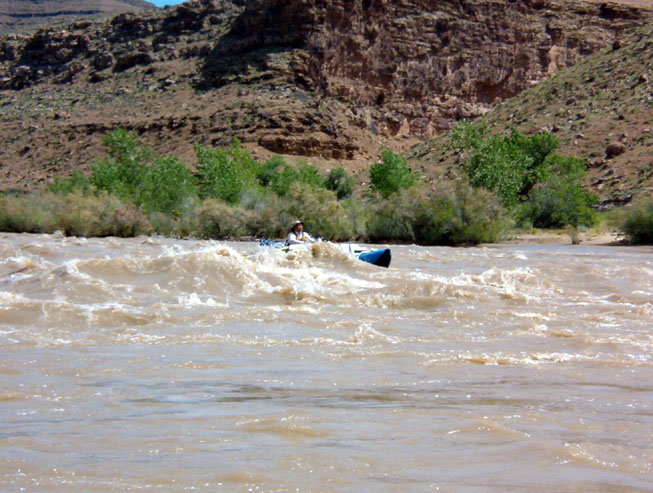
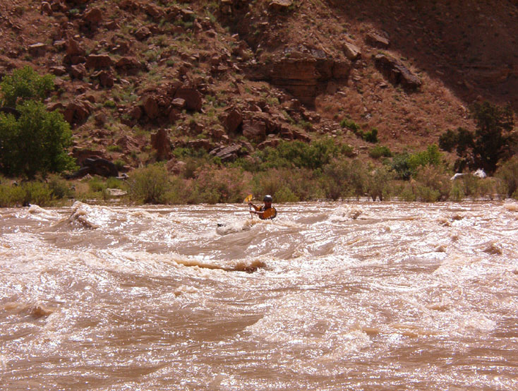
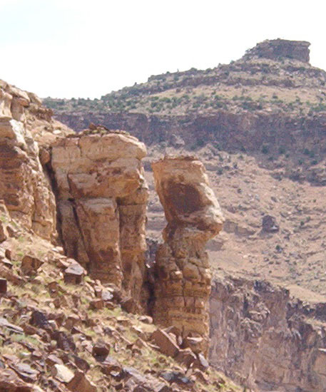
From there it was a slow floatpast the Price River. Beyond that there were occasional rapids. None of these were of much consequence until Stone Cabin Rapid, which had one big hole right in the center.
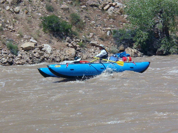
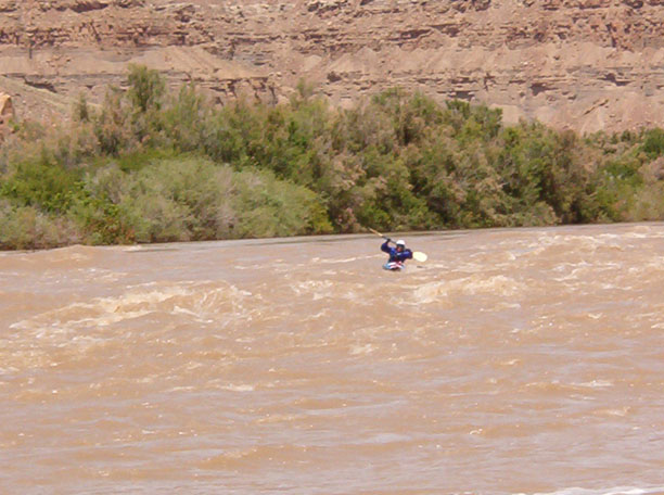
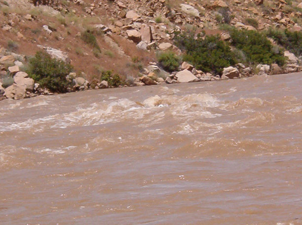
The remainder of the trip was pretty quiet. The rapids were all very mellow. We arrived at the take-out in good time to find our vehicles had been shuttled by the company we hired. They were absolutely the muddiest I'd ever seen, but they were there and no real worse for the wear. The nice, cement take-out was all ours until we left.
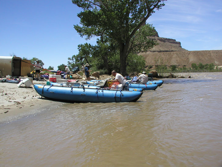
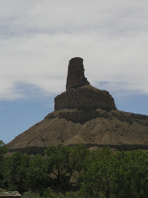
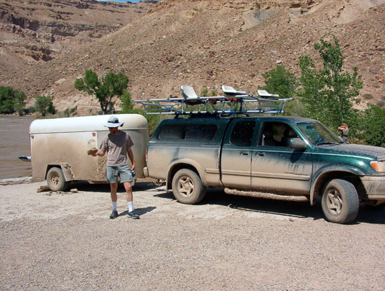
We took out so early, in fact, that we drove on back to Albuquerque that same day. The plan was to have stopped in either Green River or Moab for a room. But that wasn't necessary - we got back to Albuquerque at about 11:00 that night feeling tired after having a wonderful trip.
